


MAP
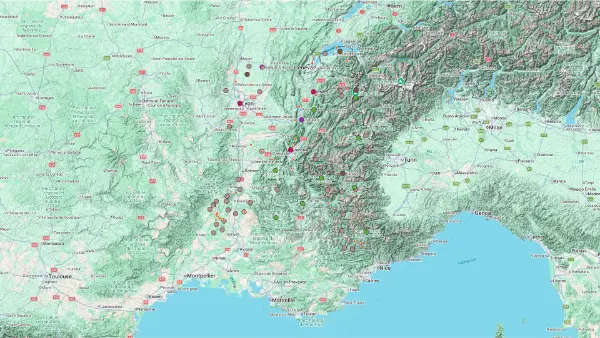
Lyon, Alps, Rhône Valley
Interactive Map
Lyon, Alps, Rhône Valley
Interactive Map
Click on the icon  in the top-left corner to display the map legend.
Show/Hide layers as needed.
Click on the arrow icons (v) to display the sublayers.
MOUNTAINS
| Name | Top+ | Top |
|---|---|---|
| Les Bauges | ||
| Chartreuse | ||
| Vercors | ☑️ | |
| Céüse | ||
| Baronnies Provençales | ||
| Mont-Blanc | ||
| Vanoise | ✅ | |
| Écrins | ✅ | |
| Queyras | ✅ | |
| Mercantour | ✅ |
Les Bauges
Full Names
Massif des Bauges
Parc Naturel Régional du Massif des Bauges
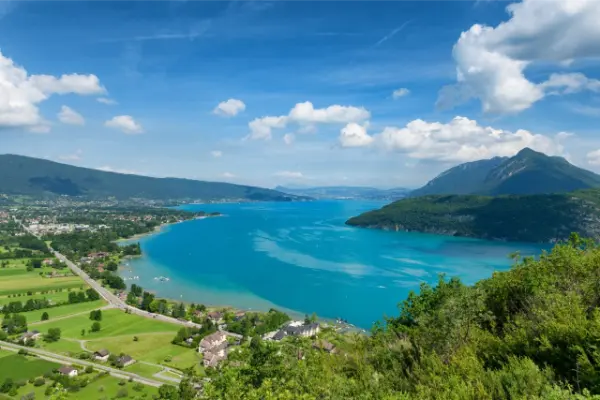
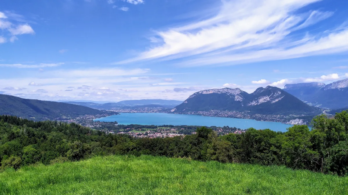
The Bauges are mountains on a human scale, but they can still show their teeth. Between Annecy and Chambéry, this mountain range is a mix of towering limestone cliffs, deep forests and vast flower filled pastures. Livestock farming has shaped the landscape for centuries. Traditional farmhouses and mountain chalets are reminders of the importance of the herds and the production of mountain cheeses.
Trails cross beautiful meadows, climb towards the ridges and offer magnificent views of the Alps. Chamois, deer and mountain birds find refuge in the quieter areas, far from roads and crowds.
Chartreuse
Full Names
Massif de la Chartreuse
Parc Naturel Régional de la Chartreuse
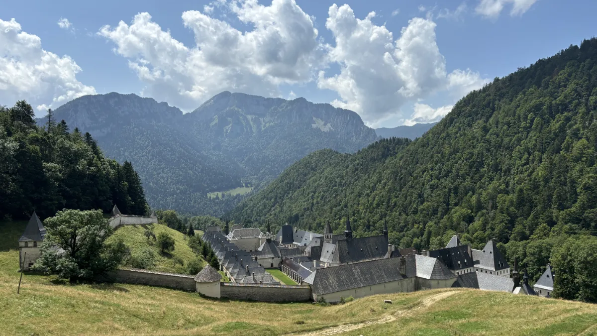
There’s something mysterious about the Chartreuse mountains. Between Grenoble and Chambéry, vast forests of fir and beech trees hide limestone cliffs, deep gorges and pastures perched high above the valleys.
It was in these isolated mountains that monks came to settle in the 11th century, seeking silence and solitude. Their monastery gave its name to both the mountain range and a famous religious order.
Today, hiking trails lead to panoramic ridges and wild valleys. Chamois roam the rocky slopes, while the forests shelter wildlife that’s much harder to spot.
Vercors
In Our Top ☑️
Full Names
Massif du Vercors
Parc Naturel Régional du Vercors
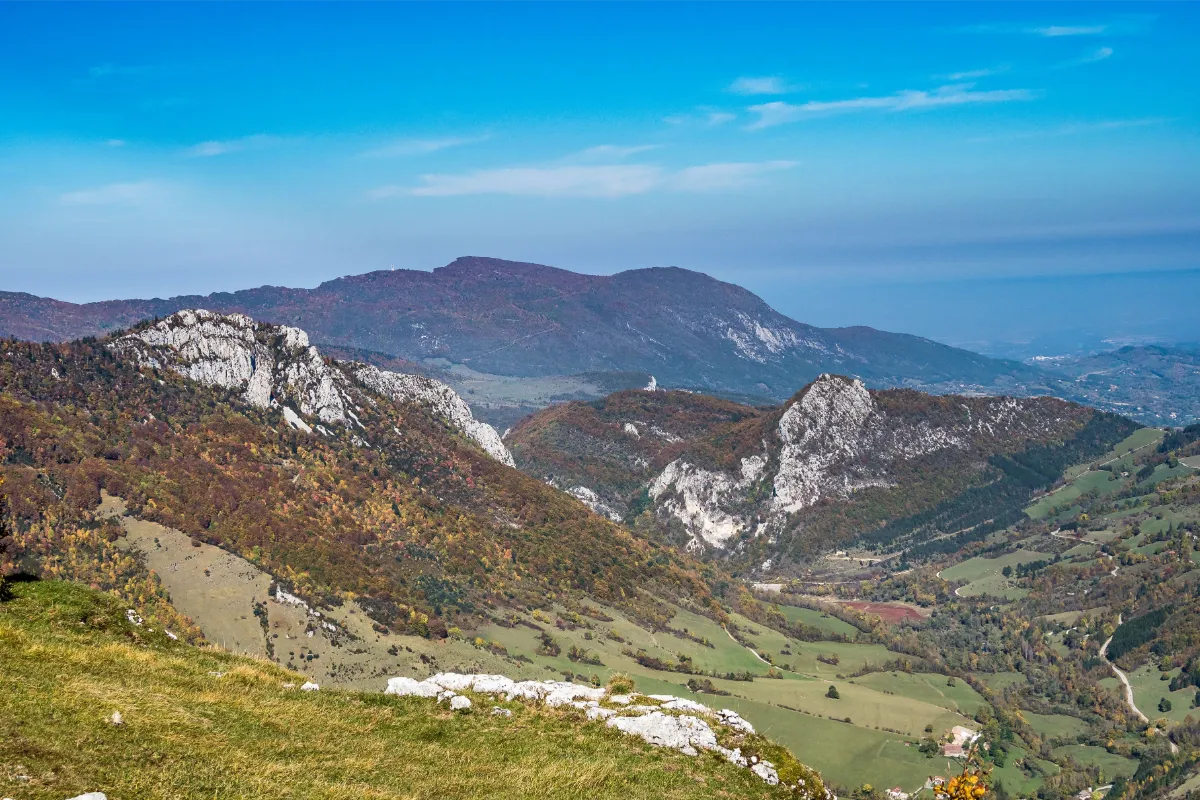
The Vercors looks like a natural fortress. Picture enormous limestone cliffs, vast wooded plateaus, deep gorges and meadows perched high above the valleys. It’s a mountain range where the landscape can be as gentle as it is breathtakingly steep.
The scenery is full of contrasts. Down in the valleys, villages and farmhouses nestle among the pastures. Higher up, forests give way to vast wilderness areas, where chamois, deer and other mountain animals roam far from the roads.
The Vercors is also famous for its spectacular roads, carved into the cliffs during the 19th century. Tunnels cut straight through the rock, bends hanging high above sheer drops and dizzying stretches of road. Better keep your eyes on the road and pull over when you want to admire the scenery.
Hikers, cyclists, climbers and cross country skiers will find a fantastic adventure playground in these mountains, both summer and winter.
Céüse
Full Name
Montagne de Céüse
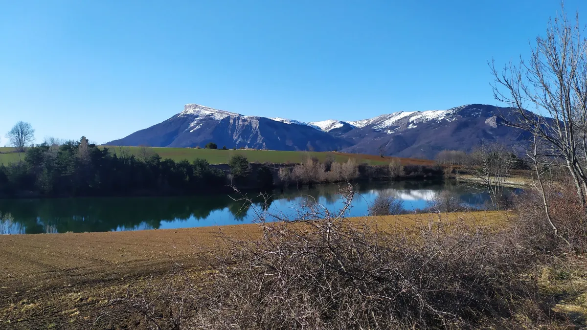
Céüse is, first and foremost, an extraordinary wall of limestone forming an enormous arc above the valleys of the Hautes-Alpes. In places, the cliffs rise several hundred metres. No wonder climbers come from all over the world to tackle them. The mountain is one of the world’s great sport climbing destinations, with some exceptionally demanding routes.
But you don’t have to be an acrobat to enjoy the scenery. Trails cross flower filled meadows and pastures before reaching the ridges. From up there, the panorama takes in the Dévoluy mountains, the Écrins and the sunlit valleys of the Southern Alps.
Baronnies Provençales
Full Name
Parc Naturel Régional des Baronnies Provençales
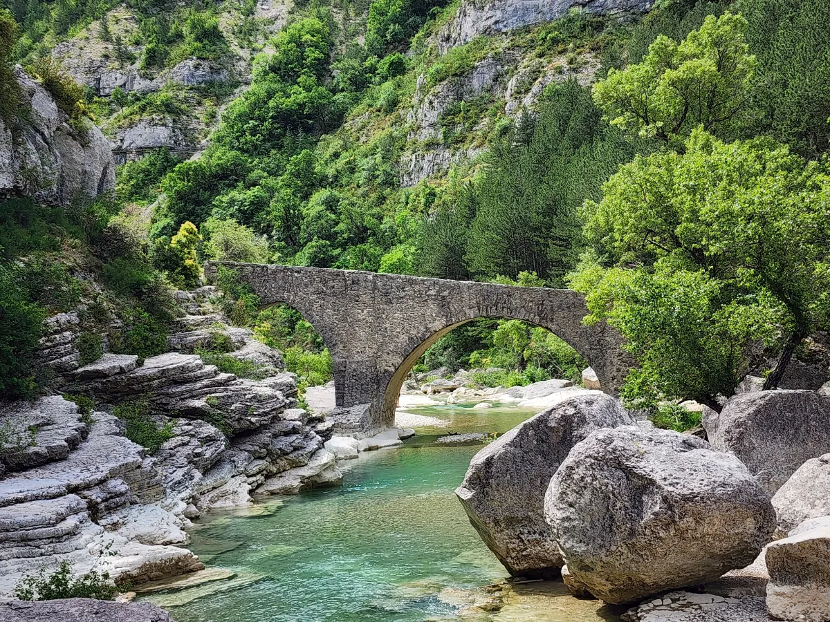
The Baronnies Provençales are where two worlds come together: the Alps and Provence. Here, limestone mountains sit alongside lavender fields, olive groves and hilltop villages. It’s a landscape of sun drenched hills, hidden valleys and roads that seem to twist and turn forever. Several species of vultures nest in the cliffs, and their enormous silhouettes can sometimes be seen soaring above the mountains.
The scenery changes colour with the seasons: fresh green in spring, purple when the lavender blooms, and ochre and gold in autumn. It’s an especially lovely region to explore on foot or by bike.
Mont-Blanc
Full Name
Massif du Mont-Blanc
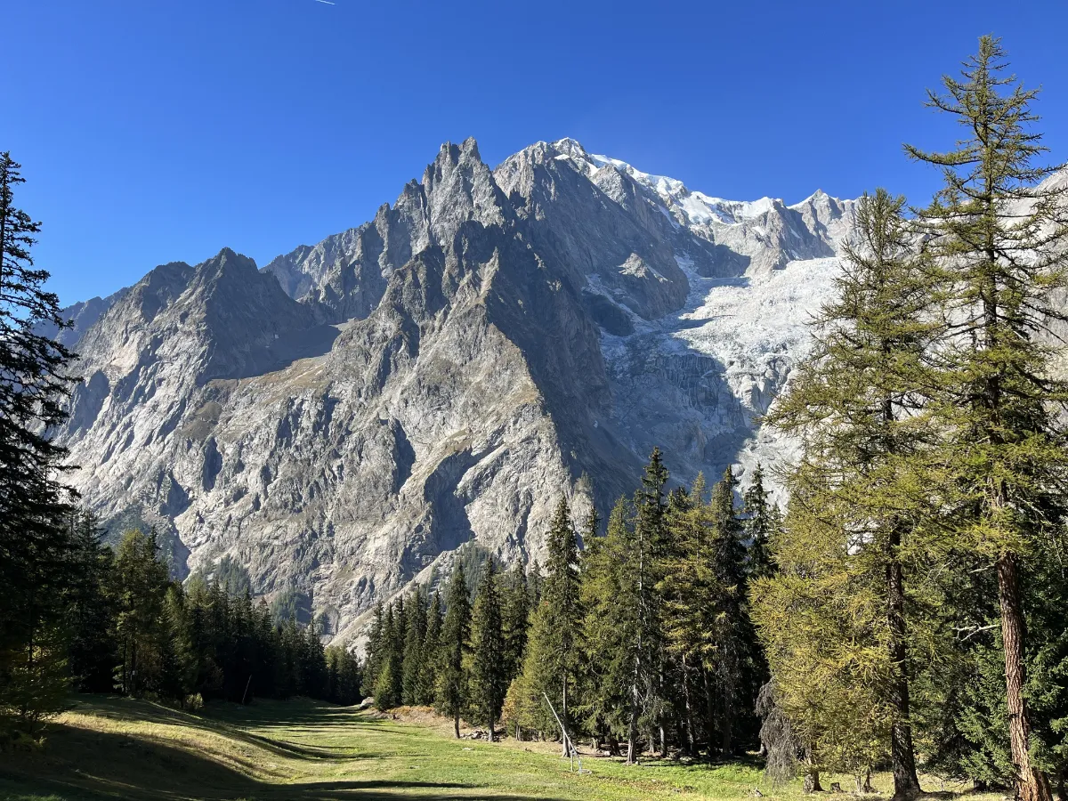
The Mont Blanc Massif is high mountain scenery on an epic scale. Rocky spires pierce the sky, glaciers cling to the mountainsides, knife edge ridges plunge into the depths and, towering above it all, stands the highest peak in the Alps, at over 4,800 metres. It’s hard not to be overwhelmed by the sight.
Straddling France, Italy and Switzerland, the massif has fascinated travellers for centuries. In 1786, the first successful ascent of Mont Blanc opened a new chapter in the history of mountaineering.
Today, several cable cars allow visitors to get close to this world of ice without having to strap on crampons. The Aiguille du Midi, perched at 3,842 metres, offers one of the most breathtaking panoramas in the Alps.
Further down, magnificent hiking trails wind through valleys filled with fir forests, flower covered meadows and rushing mountain streams. Traditional villages, with their wooden chalets, still preserve traces of the old pastoral way of life.
Vanoise
In Our Top+ ✅
Full Names
Massif de la Vanoise
Parc National de la Vanoise
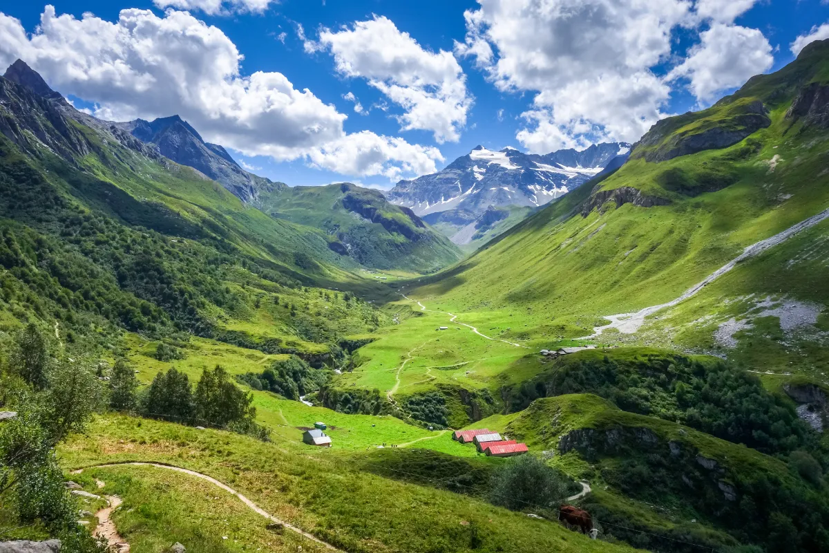
The Vanoise is a magnificent stretch of unspoilt Alpine wilderness, with peaks rising above 3,000 metres, glaciers, mountain lakes and meadows bursting with colour during the short Alpine summers. Located near the Italian border, this mountain range is home to some of the richest natural heritage in the French Alps.
In 1963, France created its first national park here, partly to protect the Alpine ibex, an impressive animal with long, curved horns that was once threatened with extinction. Today, it’s not unusual to spot them on rocky slopes, provided you keep quiet and your eyes open.
Chamois are also part of the picture, along with marmots, whose whistles echo across the pastures. High above, golden eagles and bearded vultures, enormous birds of prey with wingspans approaching three metres, patrol the valleys.
But there’s much more to the Vanoise than its wildlife. The scenery shifts between wide green valleys, larch forests, glacial streams and towering snow covered mountains. Old stone and wooden chalets recall the days when families would move up to the mountains with their herds for the summer.
As soon as the snow melts, the trails become a paradise for hikers. Some wind through gentle meadows full of flowers, while others climb towards mountain passes, lakes or refuges perched at the foot of glaciers. The more adventurous can set off on long treks lasting several days.
In winter, the landscape changes completely. The peaks disappear beneath the snow and the valleys turn white.
In summer, the morning light on the glaciers and the colours of the meadows give the scenery a much softer feel. Many old shepherds’ trails still cross these mountains, linking villages to the highest pastures.
Écrins
In Our Top+ ✅
Full Names
Massif des Écrins
Parc National des Écrins
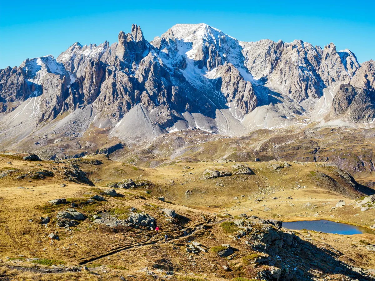
The Écrins are mountains with a capital M. A world of jagged peaks, enormous glaciers, sheer cliffs and deep valleys, where nature still calls the shots. Nothing here is done by halves. Some summits rise above 4,000 metres, and the scenery has an almost intimidating power.
The Barre des Écrins, the highest point in the massif at 4,102 metres, towers above this world of ice and granite. Nearby, La Meije rises in a spectacular silhouette that has become one of the great symbols of French mountaineering. Since the 19th century, these mountains have attracted some of the most experienced climbers.
And yet, the Écrins also have a gentler side. Down in the valleys, mountain streams race down the slopes, waterfalls burst between the rocks and traditional villages huddle around their old churches. Stone farmhouses are reminders of how difficult life could be for mountain communities.
Created in 1973, the national park protects much of this wilderness. Ibex, chamois, marmots and golden eagles find refuge here, while the meadows fill with gentians, lilies and countless other Alpine flowers as soon as the warmer weather arrives.
Hikers have an enormous choice of routes. Easy trails let you explore the valley floors, while more demanding hikes lead up to glacial lakes and mountain refuges. Some places feel like the very edge of the world, with immense rock faces and streams carrying milky glacial water.
In autumn, the larch trees turn golden, contrasting with the first snowfalls. In winter, the mountains regain all their harshness. Glaciers, steep slopes and challenging weather conditions mean some excursions are suitable only for properly equipped and experienced mountaineers.
Higher up, snow can linger well into summer, even while the valleys below are already basking in sunshine. This contrast between sparkling glaciers, forests and meadows is one of the defining features of the massif.
Queyras
In Our Top+ ✅
Full Name
Massif du Queyras
Parc Naturel Régional du Queyras
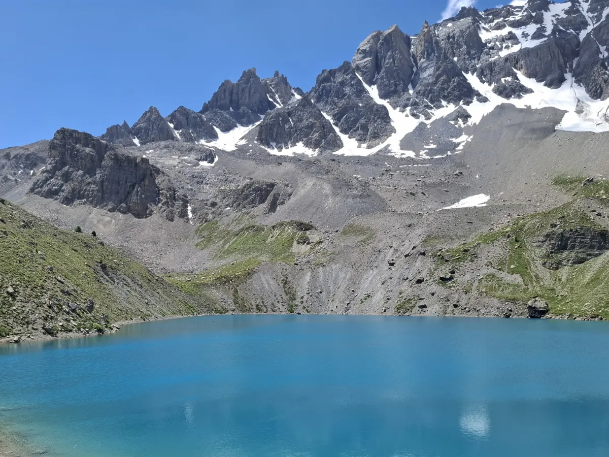
The Queyras shows a different side of the Alps. Less flashy than the big mountain resorts, this region near the Italian border has kept its wild character, traditional villages and sometimes astonishingly beautiful landscapes. It’s a land of high valleys, larch forests and peaks rising above 3,000 metres.
Long difficult to reach, the Queyras has preserved a strong sense of identity. Its villages have kept their old stone and wooden houses, built to withstand harsh winters. Enormous barns were once used to store hay, while animals were often kept on the lower floor, providing a little extra warmth for the people living above.
Another distinctive feature is the sundials painted on house façades, sometimes accompanied by sayings full of wisdom or humour. It’s a tradition that reflects the region’s long history of exchanges with neighbouring parts of Italy.
Nature takes centre stage here. In spring, mountain streams swell with melting snow. In summer, the meadows burst into flower and herds make their way up to the high pastures. Marmots whistle among the rocks, while chamois and ibex roam the steepest slopes.
But autumn might just be when the Queyras looks its most spectacular. The larch trees, conifers that lose their needles in winter, turn brilliant shades of yellow and orange. Beneath the blue skies of the Southern Alps, the forests seem to burst into flames. It’s a sight you never get tired of.
The massif is also a fantastic hiking destination, with countless trails linking villages, mountain passes and high altitude lakes. In winter, snow transforms the valleys into peaceful white landscapes, perfect for cross country skiing, snowshoeing and walks through the forests.
Mercantour

In Our Top+ ✅
Full Name
Parc National du Mercantour
Highest Peak 3143m (10,314ft) 📍Cime du Gélas
The Mercantour is a one-of-a-kind place tucked away in the far southeast corner of the French Alps, where the mountains practically dip into the Mediterranean. It’s one of the wildest and best-preserved national parks in France, a natural treasure full of snowy peaks, deep valleys, crystal-clear streams and little villages clinging to the hillsides.
The park’s made up of seven main valleys, like the Tinée, Vésubie, Var, Cians, Roya and Bévéra, and the variety of landscapes is pretty amazing. You’ve got the red gorges of Cians and Daluis, which look a bit like the canyons in Colorado, mixed in with larch forests and blooming alpine meadows. Along the trails, you might bump into ibexes, chamois, marmots and if you’re lucky, you could even catch a glimpse of a golden eagle or a bearded vulture.
Right in the heart of the area, there’s the Vallée des Merveilles, up near Tende, which is one of the biggest open-air rock art sites in Europe. There are over 40,000 prehistoric carvings there, more than 5,000 years old, etched into the rocks at the foot of Mont Bégo. Hiking through this valley, or the nearby Fontanalba one, gives you this mix of raw natural beauty and ancient art. To keep the place protected, you can only check out the carvings with a guide.