


PRESENTATION
A Peninsula Between Land and Ocean
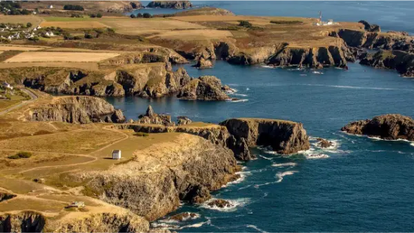
To understand Brittany, you first have to understand its relationship with the sea. Its deeply indented coastline is one of the region’s defining features. Cliffs and rocky headlands alternate with sheltered coves, sandy beaches, dunes, harbours and estuaries. In some places, the ocean reaches far inland through ancient river valleys. In northern Finistère, these sea inlets are known as abers, while farther south you’re more likely to hear the term ria.
The presence of water also sets the rhythm of the landscape. At low tide, some bays reveal vast stretches of sand or mudflats, oyster beds and rocks that will disappear again just a few hours later. At high tide, the sea fills the coves and pushes back into the estuaries. The light can change just as quickly, driven by wind and clouds. Grey skies can suddenly open into broad patches of blue, followed by golden light spreading across the sea towards the end of the day.
The islands are a natural extension of this maritime Brittany. Nearly 1,000 islands and islets are scattered along the Breton coast, although only a small number are inhabited. Bréhat, Batz, Molène, Ouessant, Sein, Groix, Belle-Île, Houat and Hoëdic each have their own character. Some are green and covered in flowers, while others are rocky and heavily exposed to the wind. Ouessant feels like the very edge of the open ocean, while Belle-Île combines beaches, cliffs and spectacular rock formations. In the Gulf of Morbihan, by contrast, the islands lie within a much more sheltered inland sea.
This contrast between the coast and the interior can also be found in two ideas deeply associated with Brittany: “Ar Mor”, the land of the sea, and “Argoat”, the land of the woods and the interior. So you can explore a Brittany entirely shaped by the ocean, then travel just a few dozen kilometres inland and find sunken lanes, hills, rivers, forests and rural villages.
An Extraordinary Variety of Landscapes
Brittany doesn’t have just one face. Every part of the region has its own atmosphere, and the differences between the north, west, south and interior can be striking.
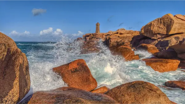
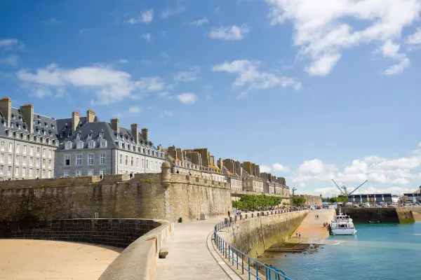
In the north, the Emerald Coast combines beaches, cliffs and historic seaside towns around Saint-Malo and Dinard. Farther west, Cap Fréhel rises high above the sea before the coastline becomes increasingly fragmented around the Goëlo area and the Pink Granite Coast. Here, strangely shaped granite boulders give the shoreline its instantly recognisable appearance.
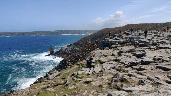
Continue towards Finistère and the landscape often becomes wilder. The Iroise Sea, rocky headlands, reefs, lighthouses and islands all reinforce the feeling that you’re standing at the edge of the open Atlantic. Ouessant is one of the best examples, with its rugged coastline and landscape constantly exposed to ocean winds.
Inland Brittany has a completely different atmosphere. In the Monts d’Arrée, you travel through heathland, ridges and wide open landscapes. The hills themselves aren’t particularly high, but the sense of space is remarkable. Farther east, the Forest of Paimpont, associated with Brocéliande and the legends of King Arthur, offers a landscape of woodland, ponds and shady paths. Between these larger areas, hedgerows, river valleys, orchards and farmland reveal a quieter, more everyday side of rural Brittany.
In the south, the atmosphere changes again. Southern Finistère combines rocky headlands, beaches, harbours and rias, while Morbihan generally has a more sheltered coastline. The Quiberon Peninsula creates a spectacular contrast between its wild Atlantic coast and its more protected beaches. Farther east, the Gulf of Morbihan forms a landscape unlike anywhere else, a small inland sea crossed by powerful currents and dotted with islands, where the coastline seems to fold back in on itself.
Brittany brings together an unusual concentration of very different landscapes, cliffs, beaches, heathland, forests, hedgerows, valleys, islands and marshes. That variety also explains why the region is so well suited to hiking, coastal trails and cycling.
A Region Shaped by History and A Strong Identity
Beyond its landscapes, Brittany stands out for its particularly visible historical and cultural identity. Once a kingdom and later a duchy, it had its own history before becoming part of France. That long past can still be seen in its towns, religious buildings, castles, fortifications and countless historic sites scattered across the region.
In Morbihan, the Carnac alignments and other megalithic sites are evidence of human settlement going back thousands of years. Later came medieval towns, citadels, fortified ports and privateering strongholds, telling another part of Brittany’s story, that of a region open to the sea and international trade. Saint-Malo remains inseparable from this maritime tradition, while Brest owes much of its development to its vast natural harbour and naval importance.
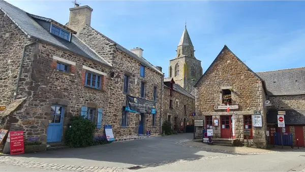
Religious heritage also plays a major role. In Finistère in particular, you’ll come across countless chapels, churches, calvaries and parish closes. These granite complexes reflect the former prosperity of some local communities and still give the villages where they stand a distinctive character.
Breton culture also lives on through its languages, music, dancing, festivals and legends. Fest-noz gatherings keep alive a collective tradition of music and dance, while the stories of Brocéliande continue to bring Merlin, Viviane and the Arthurian legends to life. Maritime traditions are just as deeply rooted in the regional imagination, with fishermen, lighthouses, shipwrecks, harbours and voyages out to sea all playing their part.
The food reflects that same meeting of land and sea. Breton tables are filled with fish, shellfish and seafood, alongside buckwheat galettes, crêpes, salted butter, kouign-amann and more rustic dishes such as kig ha farz. In both northern and southern Brittany, seafood and rural traditions are constantly intertwined.
Ultimately, that combination is what gives Brittany its character. This isn’t a uniform region, but a mosaic of different territories, landscapes and local identities. Between harbours and hedgerows, cliffs and forests, megaliths and historic towns, Brittany reveals itself through its contrasts, but also through the powerful connection between land, sea and the people who live there.
OVERVIEW
Map
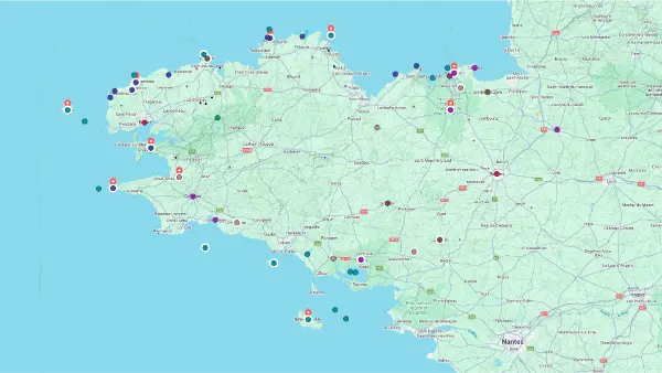
Interactive Map
Interactive Map
Click on the icon  in the top-left corner to display the map legend.
Show/Hide layers as needed.
Click on the arrow icons (v) to display the sublayers.
Top Picks