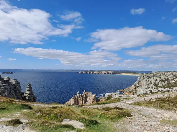



COASTAL PATHS - NORTH
| Name | Top+ | Top |
|---|---|---|
| Cap Fréhel | ||
| Cap d'Erquy | ||
| Plougrescant | ||
| Ploumanac'h | ✅ | |
| Île Renote |
Cap Fréhel
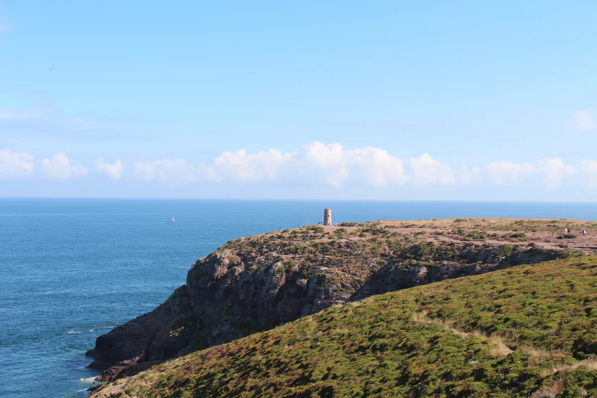
Cap Fréhel is Brittany on a grand scale, wind, heather, open sea and cliffs dropping almost vertically into the water. The coastal path runs along the edge of a plateau covered in low vegetation, with more than 70 metres between your feet and the waves in places.
The walk is exposed, and the scenery changes constantly with the light. On a clear day, you can see far across the English Channel, while stronger winds make the whole place feel even more dramatic. The lighthouse at the cape remains a useful landmark for much of the walk.
The most impressive route follows the coast towards Fort La Latte, a spectacular medieval fortress built on a rocky headland. Between the two, the path takes you over gentle climbs, above small coves and across long stretches of open heathland.
In spring and early summer, look up towards the cliffs. Several thousand seabirds come here to nest, including guillemots, which have become one of the cape’s most distinctive natural sights.
Cap d'Erquy
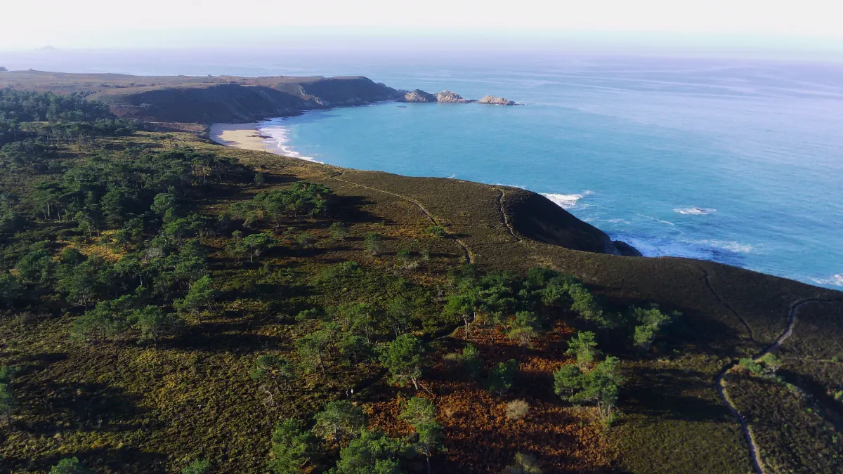
Cap d’Erquy is all about contrasts. You walk between pink sandstone cliffs, carpets of heather, pine trees and little hidden beaches that suddenly appear as you round a bend in the path.
The rock gives the landscape its distinctive colour. It was once quarried at several sites and used far beyond Brittany. Some of the old quarries have since filled with water, creating small pools surrounded by vegetation.
The coastal path takes you around much of the cape and leads to sheltered coves along the way. The terrain is fairly accessible, although you’ll definitely feel a few of the climbs, especially if you keep walking further along the coast. This is somewhere to take your time and stop often.
In late summer, the heathland turns pink and purple. With the emerald sea below and golden beaches tucked between rocky headlands, the colours almost look too perfectly arranged to be natural.
Plougrescant
At Plougrescant, forget long, regular stretches of beach, the coastline seems to head off in every direction. The path winds between fields, granite boulders, small bays and pieces of land that seem caught somewhere between the mainland and the sea. In rough weather, the scenery becomes seriously wild.
The Gouffre is the most dramatic spot. Waves surge between two towering masses of rock with a roar you can hear from far away. Make sure you stay on the marked paths, especially when the sea is rough and the wind picks up.
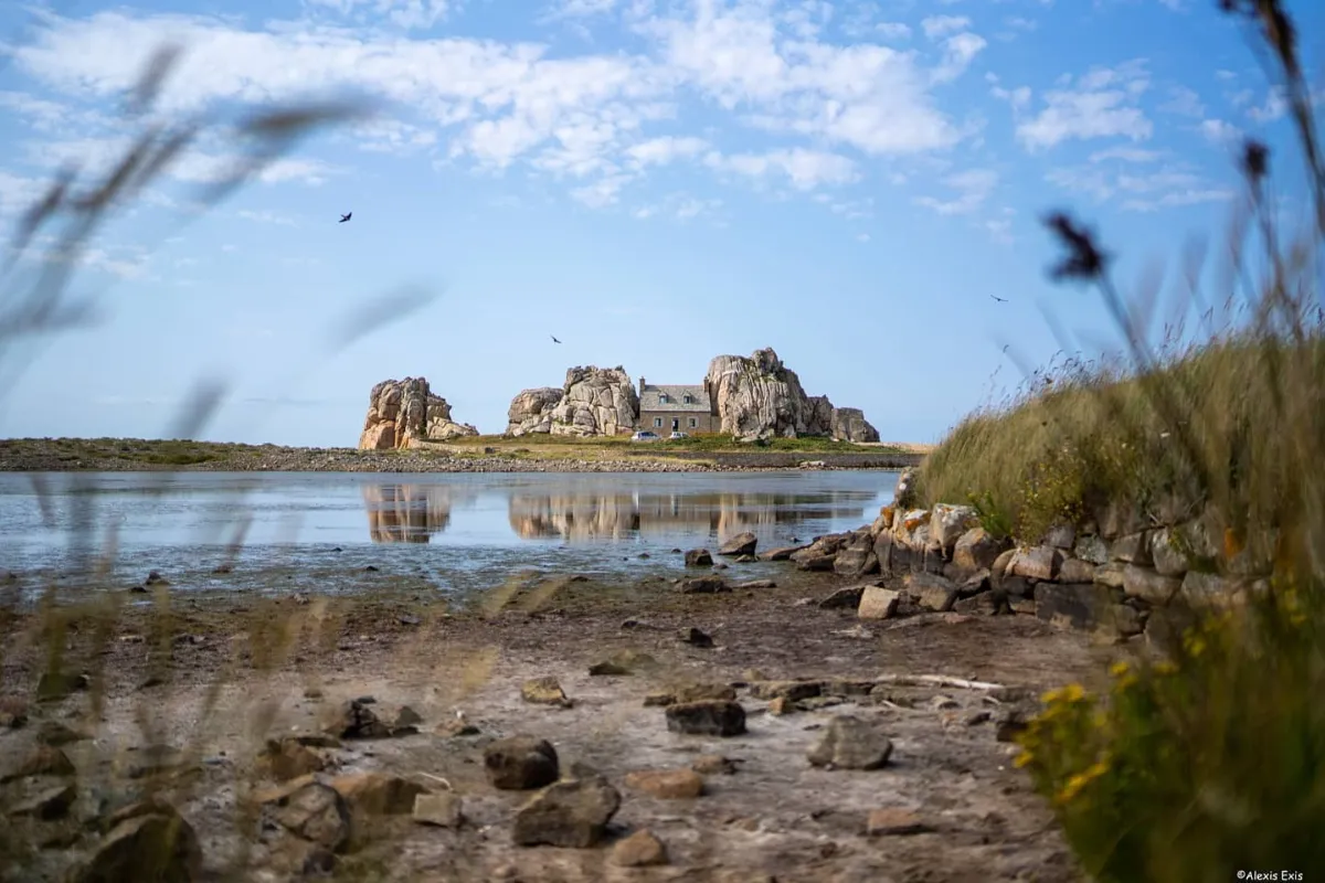
A little further on, Castel Meur gives you the iconic view of Plougrescant, a tiny house squeezed between two enormous granite boulders. It’s private property, but you can see it from the path without leaving the public area.
If you want a longer walk, simply keep following the coast. The roads gradually disappear behind you until small islands, low grasses and rocks seem to take over almost completely.
Ploumanac'h
In Our Top+ ✅
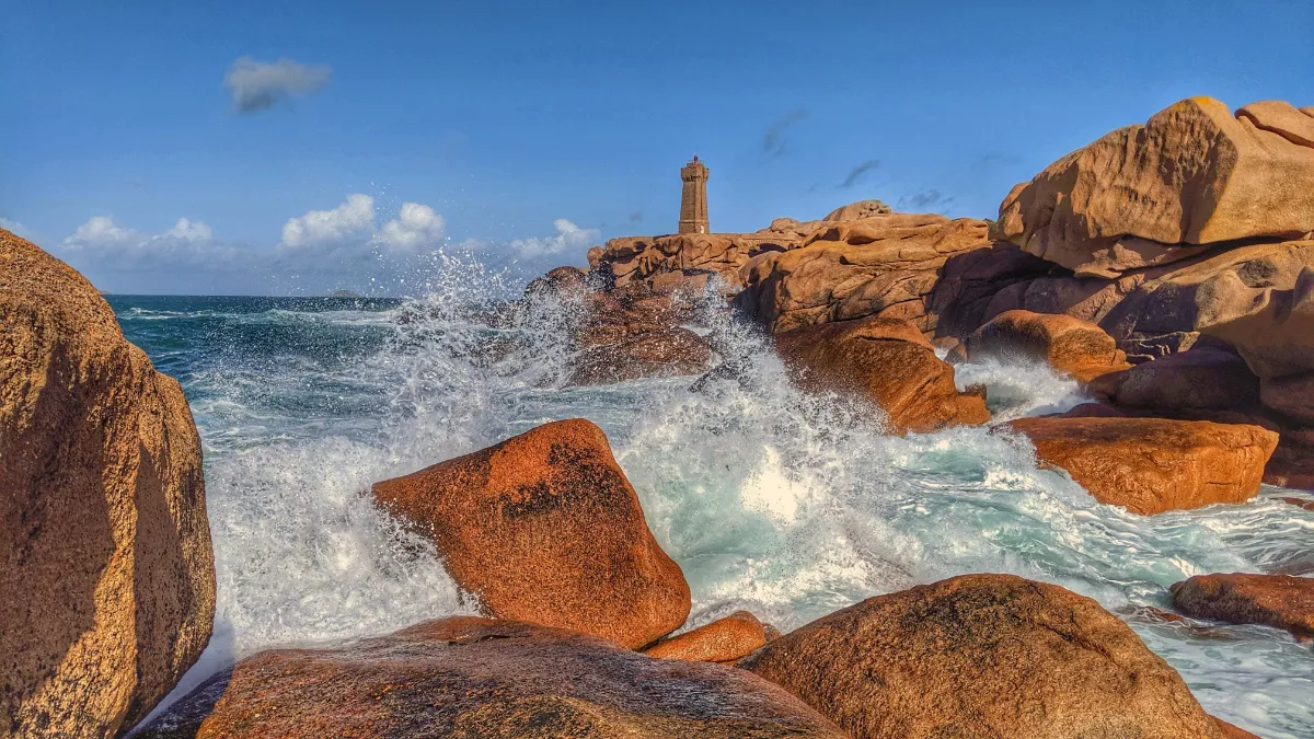
Ploumanac’h sometimes looks like a landscape created by a slightly playful giant. The coastal path winds between enormous blocks of pink granite stacked in unlikely positions, shaped and smoothed over millions of years by water, wind and changes in temperature.
The walk is easy to follow, but it would be a shame to rush it. Around every corner, new shapes appear, a mushroom, a turtle, a face or an upside down bottle, depending on your imagination. The granite changes colour too, shifting from pinkish grey to copper as the sun goes down.
The Mean Ruz lighthouse is the main landmark along the walk. Built from pink granite, it rises among the rocks and creates one of the most recognisable views anywhere on the Breton coast.
Further along, the view opens out towards the sea and Costaérès Castle, standing on its tiny island. On calm days, the blue water makes the strange, rocky landscape look even more striking.
Île Renote
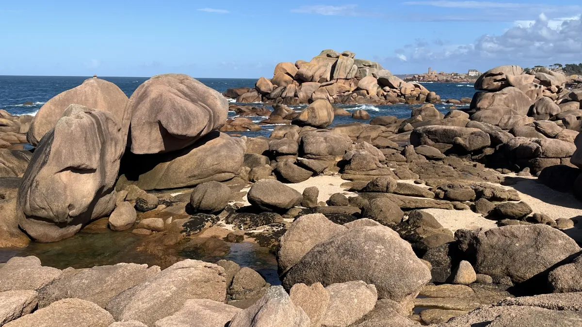
Despite its name, Île Renote is now connected to the mainland and can be explored like a small peninsula. The coastal loop is only about 2 kilometres long, a short walk with almost no climbing, ideal if you want to enjoy the pink granite scenery without setting off on a long hike.
The path runs between fine sandy beaches, pine trees twisted by the wind and enormous rounded boulders. At low tide, the landscape opens up dramatically. At high tide, the water surrounds the rocks and makes the place feel much more like an island.
Several viewpoints look out towards the Sept-Îles archipelago, the Ploumanac’h lighthouse and Costaérès Castle. Despite the short distance, the views change surprisingly quickly.
Stay on the marked path, as the coastal vegetation is easily damaged by people walking over it. Bikes aren’t allowed, and walking poles need to have protective tips.
COASTAL PATHS - WEST
| Name | Top+ | Top |
|---|---|---|
| Dunes de Keremma | ||
| Aber Wrac'h | ✅ | |
| Aber-Benoît | ☑️ | |
| Trémazan | ||
| Argenton | ||
| Crozon | ✅ | |
| Pointe du Raz | ✅ |
Dunes de Keremma
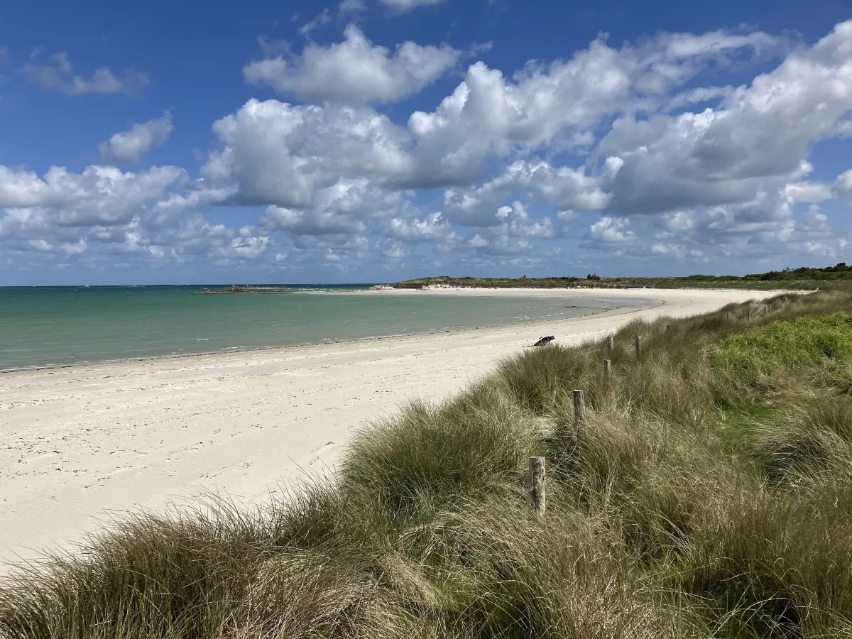
There are no cliffs or dizzying headlands here. Keremma stretches out over more than 6 kilometres of dunes, sandy grassland and white shoreline between a wide bay and an inlet exposed to the tides. The horizon feels huge and almost completely flat.
The walk takes you through a fragile environment constantly reshaped by the wind, currents and waves. The dunes move, retreat and change shape, with wetlands, granite rocks and long beaches appearing between them, where you can walk for kilometres.
The site is also an important stop for migrating birds. Its plant life is surprisingly rich, with several hundred species adapted to the sand, salt and sometimes powerful winds.
Bring something to protect you from the wind, even when the sun is shining. At low tide, the sea can seem incredibly far away. As the tide comes back in, the whole pattern of sand and water changes before your eyes.
Aber Wrac'h
In Our Top+ ✅
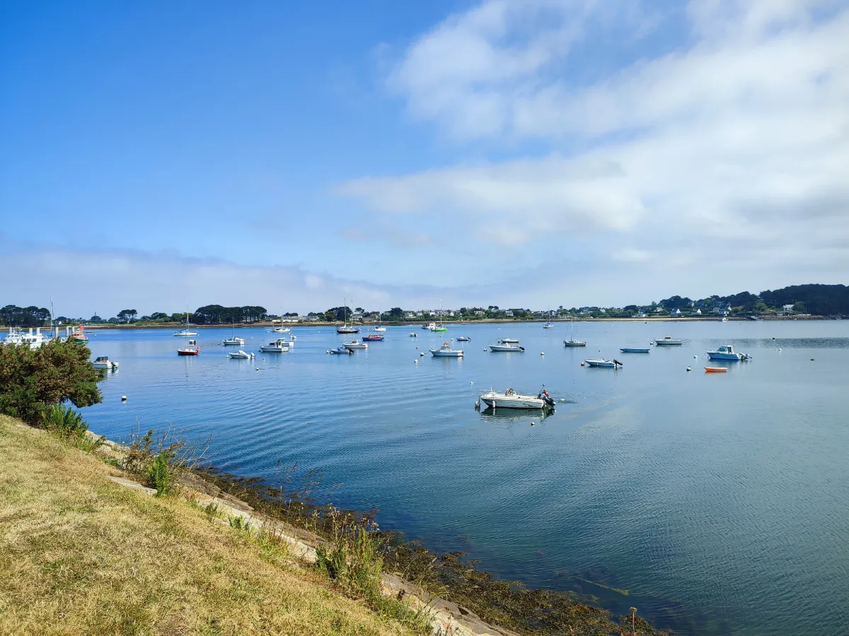
Aber Wrac’h offers a very different kind of walk from Brittany’s exposed ocean coastline. An “aber” is an ancient river valley that has been flooded by the sea. Here, the water reaches deep inland, creating a long sea inlet dotted with small islands and reefs.
The coastal path alternates between wide open views and more sheltered sections. As you get closer to the mouth of the inlet, the scenery becomes much more maritime, with sailing boats, navigation markers, rocks and lighthouses reminding you just how much care is needed to navigate these waters.
Several islands can be seen offshore, along with the spectacular Île Vierge lighthouse. The colours can be amazing when the sun comes out after a shower, pale sand, patches of turquoise water and intensely green vegetation.
The tide completely transforms the walk. At low tide, huge areas around the islands are exposed. A few hours later, the water fills the channels again and visually brings the two shores much closer together.
Aber-Benoît
In Our Top ☑️
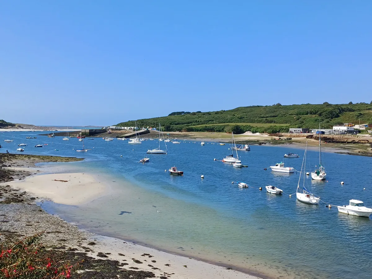
Quieter than its neighbour Aber Wrac’h, Aber-Benoît has a gentle, almost secret atmosphere. This ancient valley flooded by the sea winds between meadows, small woods and low banks before gradually widening as it approaches the ocean.
The walk follows a landscape controlled by the tides. When the water retreats, sandbanks and mudflats appear. When it returns, the landscape once again becomes a broad arm of the sea. This constant transformation is a big part of what makes the walk so interesting.
Near the mouth of the inlet, the scenery changes again, with long beaches and vast protected dunes. The area attracts plenty of birds, including egrets and several species of ducks and seabirds.
The terrain is generally gentler than on the great rocky headlands of Finistère. Here, you walk mainly for the changing light, the silence and that unusual meeting point between countryside and ocean, with seawater reaching deep into the inland landscape.
Trémazan
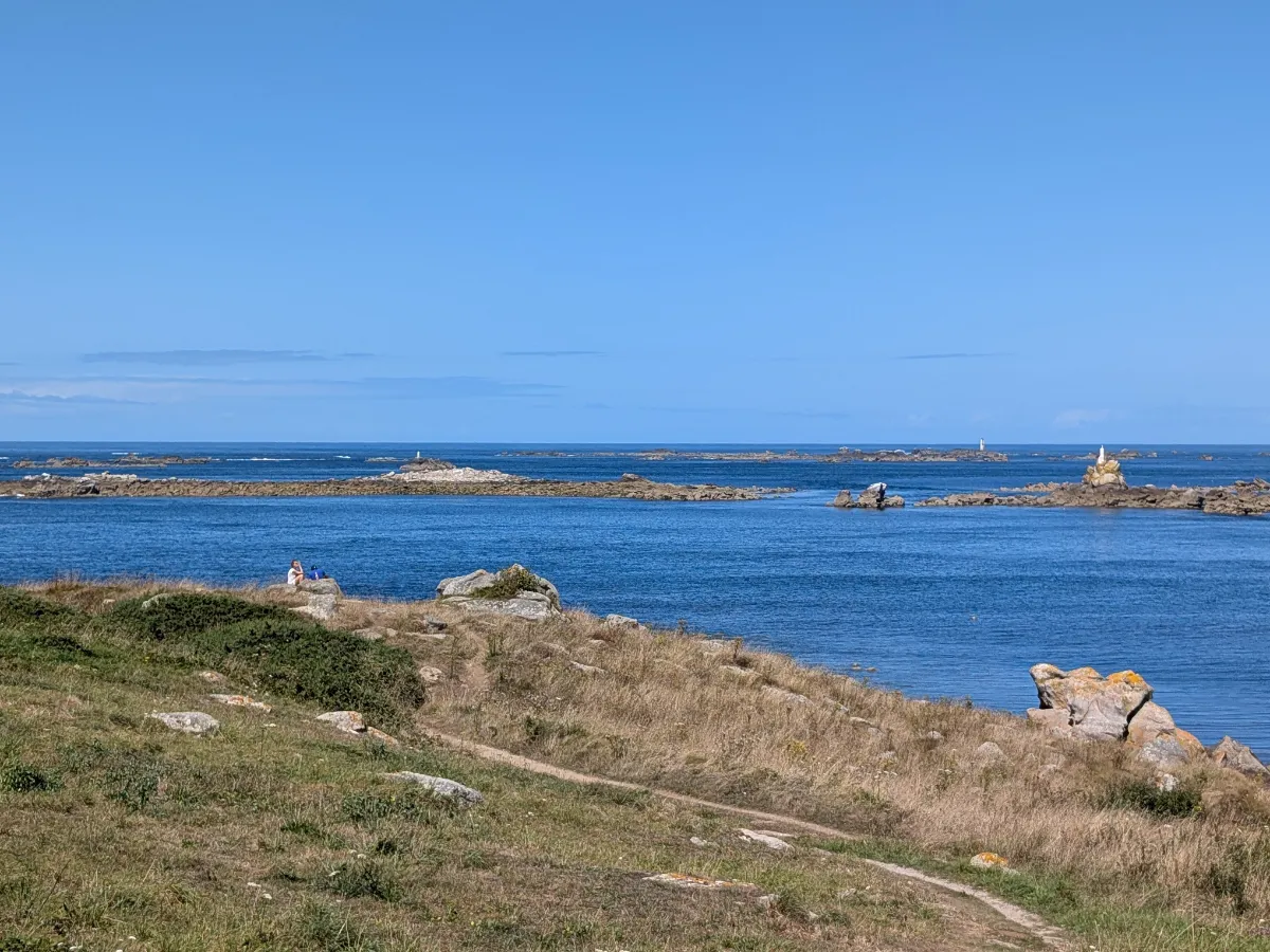
Trémazan lies on a largely undeveloped stretch of coastline where low grass almost reaches the ocean. The path runs above coves, beaches and dark rocks, with a wonderful feeling of open space when the wind sweeps across the coast.
A loop of around 12 kilometres combines the coastline with paths further inland. The coastal section is the most spectacular. For several kilometres, you stay facing the open sea, with waves crashing against the rocks and the Four lighthouse visible in the distance on clear days.
Trémazan Castle adds an unexpected touch to the landscape. Its vegetation covered ruins, dominated by a large square medieval tower, stand not far from the sea. The site is private and fragile, so admire it only from the areas where access is allowed.
Nearby, the path crosses an almost bare stretch of coastline, dotted with small beaches and a few isolated buildings. At sunset, the rocks turn dark against the bright horizon.
Argenton
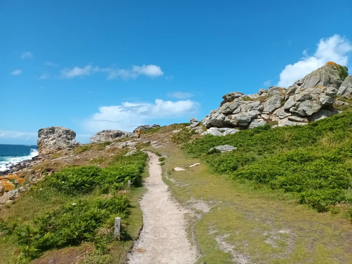
Argenton marks the beginning of a beautiful stretch of coastline running towards Trémazan. From the small harbour, you quickly reach a much more open landscape, where houses become increasingly rare and the path follows a succession of coves, rocks and windswept grassland.
Several small islands offshore add depth to the view. The Four lighthouse, standing on a rock out at sea, immediately catches the eye. On stormy days, it looks tiny against the waves, which can completely engulf its tower.
As you walk north, the coast becomes increasingly wild. A loop of around 9 kilometres links Argenton with the surrounding coves and inland paths, with no major technical difficulty, although some sections are very exposed to the wind.
The evening light is particularly beautiful along this west facing coast. The islands become dark silhouettes against the setting sun, while the rocks along the shore take on an almost metallic glow.
Crozon
In Our Top+ ✅
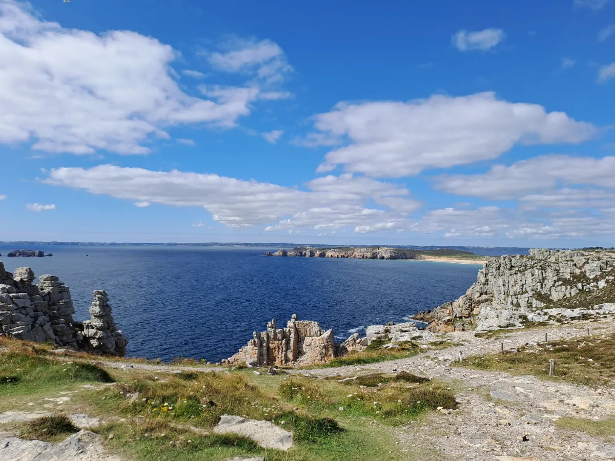
Crozon is an incredible place for walking, sitting between two large bays. The peninsula combines cliffs, long beaches, coves and rocky headlands, with a much wilder coastline on its western side. Hiking here can quickly become quite physical, there’s plenty of climbing and descending, and the edge of the cliffs is rarely far away.
Cap de la Chèvre offers one of the most spectacular routes. A loop of around 13 to 17 kilometres follows high cliffs covered in low vegetation before passing through old fishing villages. Some sections require good walking shoes and a steady footing.
Further north, Pointe de Pen-Hir is just as iconic. Its sandstone cliffs face the Tas de Pois, a series of huge rocks extending out into the ocean.
The geology adds another fascinating dimension to the walk. The cliffs contain rocks that are hundreds of millions of years old and are now protected for their exceptional scientific value.
Pointe du Raz
In Our Top+ ✅
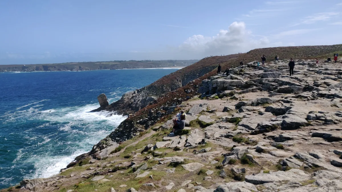
Pointe du Raz fully deserves its reputation as the end of the world. The path runs through low vegetation towards a rocky headland stretching out into the Atlantic, facing the Île de Sein. Between the two, powerful currents mean the sea is rarely calm.
To really enjoy the site on foot, take the coastal path rather than heading straight to the point. A loop of around 4 kilometres is enough to explore the cliffs and several different viewpoints without turning the outing into a long hike.
More ambitious walkers can continue to Pointe du Van. It’s around 5.5 kilometres each way, passing through the Baie des Trépassés. The route climbs and descends along the cliffs and requires a bit more stamina.
On clear days, you can see several lighthouses out at sea. But the point can be just as impressive beneath a grey sky, when the wind sends sea spray over the rocks and long white lines of foam stretch across the ocean.
MOUNTAIN - WEST
| Name | Top+ | Top |
|---|---|---|
| Monts d'Arrée |
Monts d'Arrée
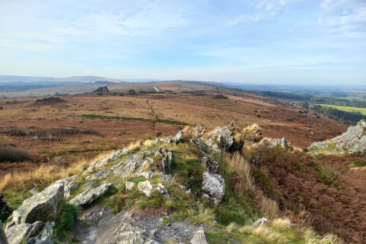
There are no high mountains here, but don’t let the numbers fool you! The Monts d’Arrée have a surprisingly powerful landscape, with rocky ridges, vast stretches of heather, peat bogs and almost deserted valleys. Wind and clouds can completely change the atmosphere in a matter of minutes.
There are plenty of hiking options, from short loops of 5 to 22 kilometres to much longer routes. The trails alternate between rocky sections, wet ground, forests and exposed ridges with views stretching far into the distance. There’s also a 100 kilometre route, the Kalon Menez Are, which takes you across the massif over several days.
Menez Mikel, also known as Mont Saint-Michel, is the area’s main landmark. At around 385 metres above sea level, its bare summit offers a huge panorama over the surrounding hills and the Yeun Elez, a vast wetland long associated with Breton legends.
On a clear day, you can see far to the north. When the mist rolls in, sometimes just a few dozen metres are enough for the entire landscape to disappear from view.