




View or Download the Alsace Tourist Map
Image: View the Full Alsace Tourist Map
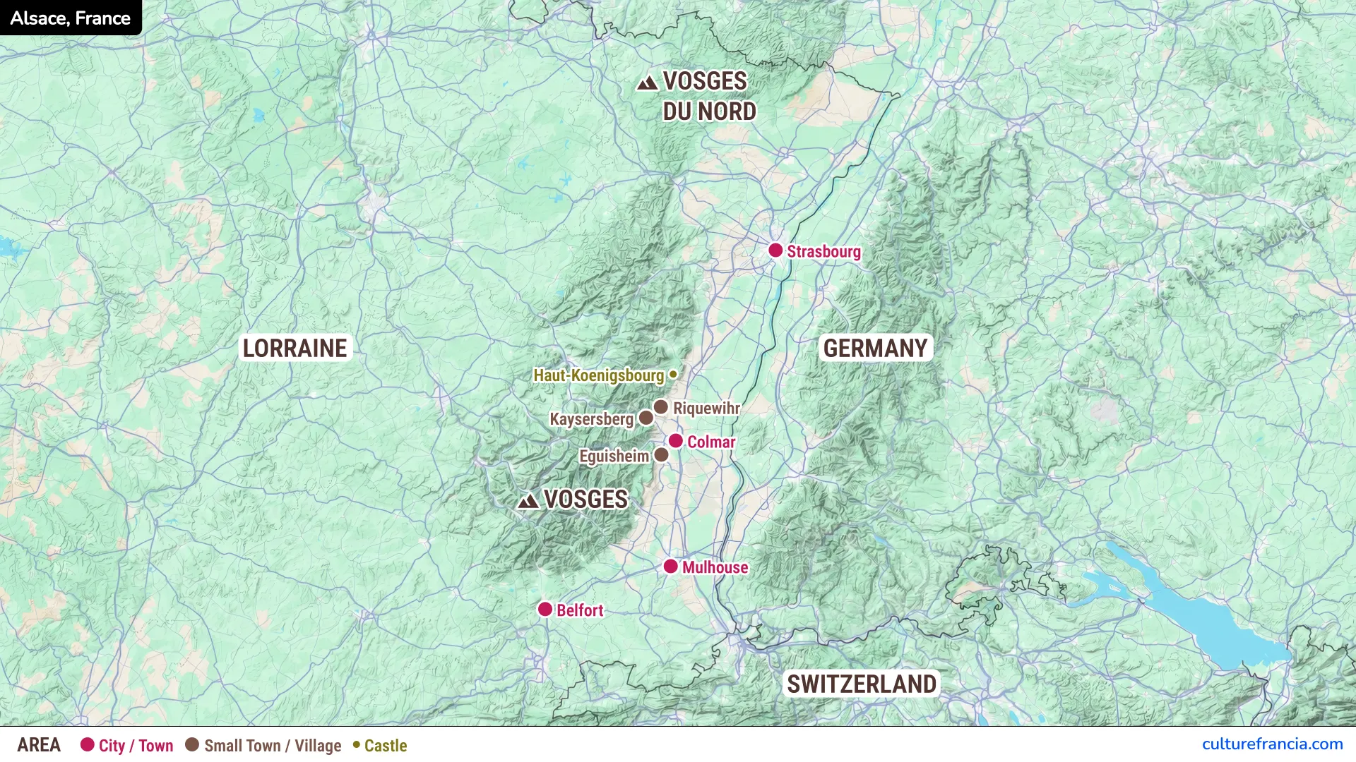
The image gives you an immediate overview of Alsace and its main destinations. Colored markers distinguish cities, smaller towns and villages, while a separate symbol identifies Haut-Koenigsbourg Castle.
Open the image full screen to see how places are distributed. It is particularly useful for understanding the concentration of villages around Colmar.
PDF: Download and Print the Alsace Tourist Map
Open the Alsace Tourist Map PDF
Choose the printable Alsace tourist map PDF if you want a copy for your phone or a paper version to consult during your trip.
It presents the same regional overview as the image. You can mark your preferred stops, but remember that this is a tourist map, not a street or road navigation map.
Interactive Alsace Tourist Map
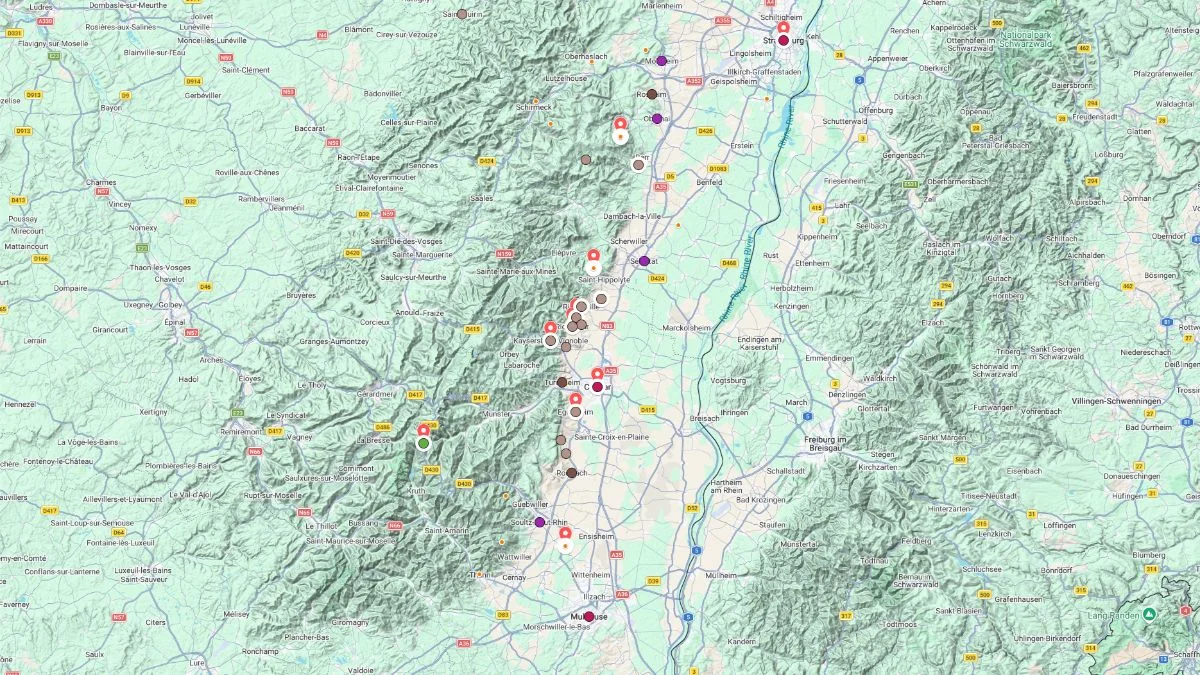
Click on the icon  in the top-right corner to view the map in full screen.
Show/Hide layers as needed.
After clicking on the image,
click on the icon  in the top-left corner to display the map legend.
Show/Hide layers as needed.
Use our interactive Alsace map to explore individual destinations in greater detail. Zoom in on a city or village, open the map in full screen and show or hide layers to focus on the places that interest you.
Check the map legend to understand its markers. This version is especially helpful when comparing attractions across different parts of the region.
What Does the Alsace Tourist Map Show?
Where Is Alsace in France?
Alsace is in eastern France, along the German border, with Switzerland to the south. The Rhine Valley runs along its eastern side, while the Vosges Mountains rise to the west.
The map also shows Lorraine and the Northern Vosges, helping you place the region within its wider geographical setting.
Major Cities: Strasbourg, Colmar and Mulhouse
Strasbourg lies in the north, with its historic centre and cathedral. Colmar is farther south, close to many famous wine villages, while Mulhouse marks the southern part of the main Alsace corridor.
These cities provide useful reference points for planning where to stay.
Picturesque Villages: Riquewihr, Kaysersberg and Eguisheim
Around Colmar, the map identifies Riquewihr, Kaysersberg and Eguisheim, three villages known for their half-timbered houses, old streets and wine-growing surroundings.
Their proximity makes this part of Alsace especially appealing for a village-focused itinerary. However, nearby on the map does not always mean a quick journey.
Haut-Koenigsbourg Castle and the Vosges Mountains
Haut-Koenigsbourg Castle overlooks the Alsace plain from the foothills of the Vosges. Its position on the map highlights the contrast between the vineyards, valley and forested mountains.
The Vosges and Northern Vosges also provide a geographical reference for travelers interested in landscapes and hiking.
How to Use the Map to Plan Your Alsace Trip
As former France travel planners, we recommend grouping visits by area rather than trying to cover the whole region in one day:
- For a city-based trip: use Strasbourg or Colmar as your starting point.
- For villages and vineyards: concentrate on the cluster around Colmar and explore the Alsace Wine Route.
- For castles and nature: combine Haut-Koenigsbourg with nearby stops, then investigate suitable routes into the Vosges.
Use the tourist map to choose your destinations, then check actual driving times, train connections or walking routes before finalizing your itinerary.