


MAP
Corsica
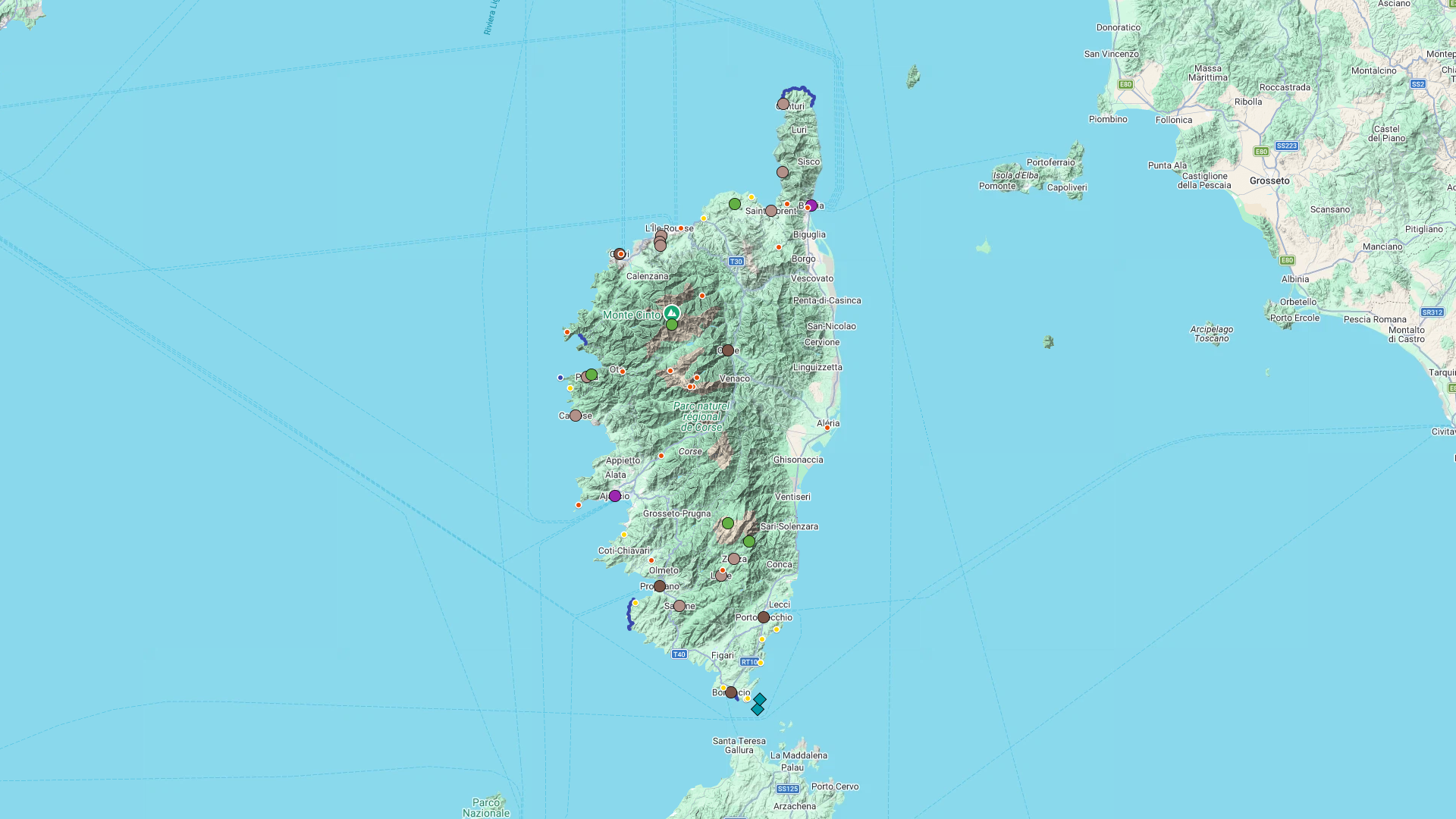
Interactive Map
Corsica
Interactive Map
Click on the icon  in the top-left corner to display the map legend.
Show/Hide layers as needed.
Click on the arrow icons (v) to display the sublayers.
COASTAL PATHS
| Name | Top+ | Top |
|---|---|---|
| Cap Corse | ||
| Golfe de Girolata | ||
| Capo Rosso | ✅ | |
| Campomoro - Senetosa | ||
| Falaises de Bonifacio |
Cap Corse
Full Name
Sentier des Douaniers du Cap Corse
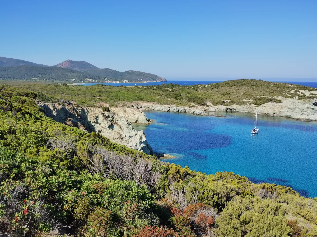
At the very tip of Cap Corse, the old customs officers’ trail follows a coastline that has remained almost completely wild. Between Macinaggio and Centuri, the route takes you past deserted beaches, rocky coves, and hills covered in fragrant Mediterranean vegetation. Old watchtowers dot the landscape, overlooking the deep blue sea.
Golfe de Girolata
Full Names
Golfe de Girolata
Sentier du Facteur
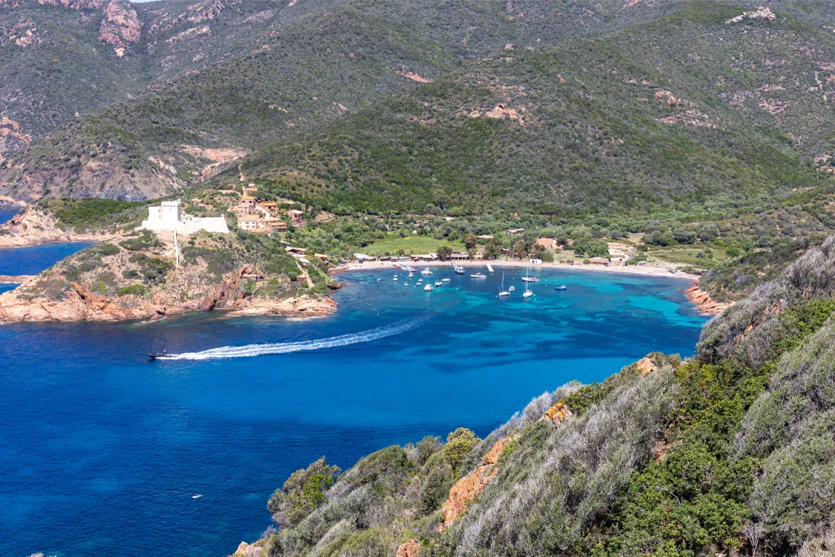
This hike comes with a lovely story. For years, a postman named Guy Ceccaldi walked this trail to deliver mail to the residents of Girolata, a tiny village that can only be reached on foot or by sea. The trail starts at Col de la Croix, on the road between Porto and Calvi.
The path first descends toward Tuara Beach, then follows the coastline above turquoise waters, winding between red rocks and Mediterranean vegetation.
Capo Rosso
In Our Top+ ✅
Full Name
Capo Rosso
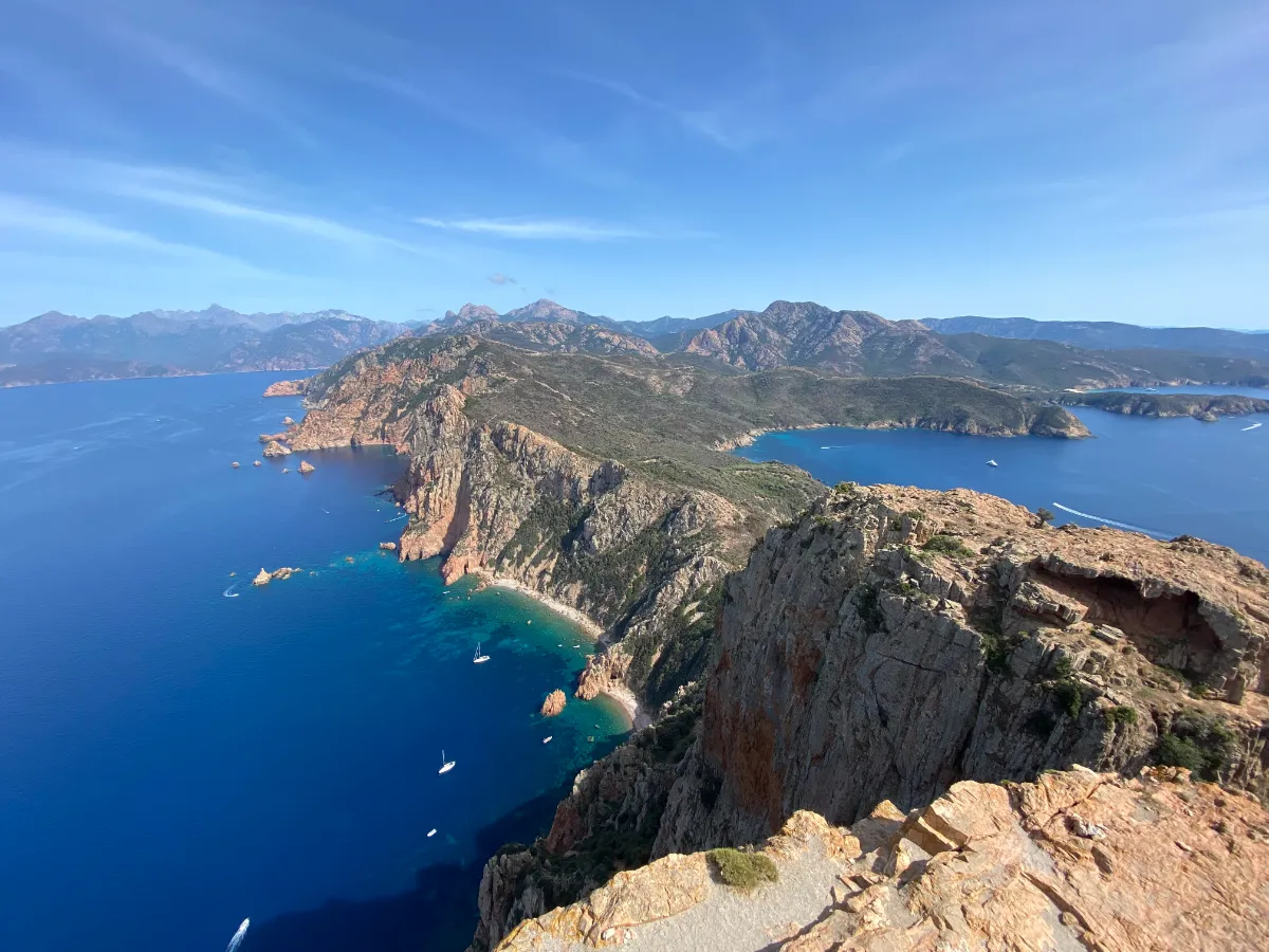
West of Piana, Capo Rosso juts out into the Mediterranean like an enormous fortress of red granite. The trail crosses low, rocky vegetation before climbing toward the Tour de Turghiu, an old watchtower perched 330 meters above the sea.
From the top, you get sweeping views of the Calanques de Piana, the Gulf of Porto, and the Scandola Nature Reserve.
Campomoro - Senetosa
Full Names
Campomoro – Senetosa
Sentier du Littoral de Campomoro
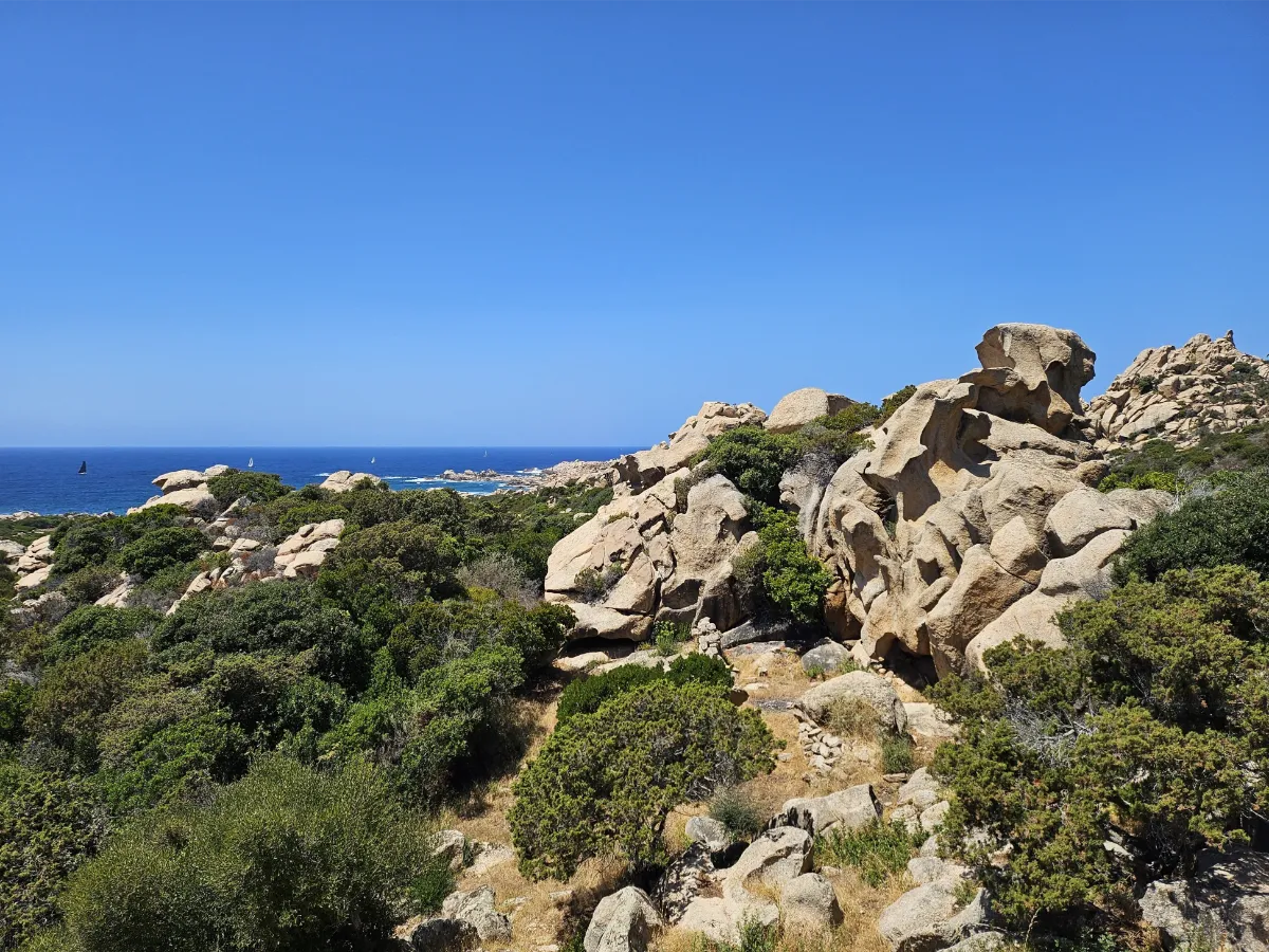
South of Propriano, the coastline between Campomoro and Senetosa reveals a particularly wild side of Corsica. The trail winds between strangely shaped granite boulders, little coves, and hills covered in Mediterranean shrubs. Every now and then, you might spot an old shepherd’s shelter tucked away in the vegetation.
Falaises de Bonifacio
Full Names
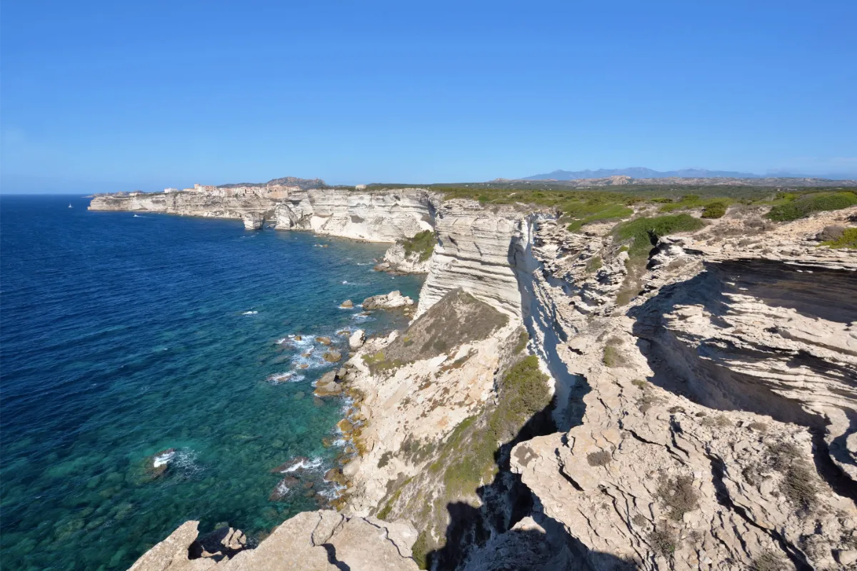
Falaises de Bonifacio
Sentier de Campu Rumanilu
Walking along the cliffs of Bonifacio can sometimes feel like you’re standing at the edge of the world. The Campu Rumanilu trail leaves the fortified town behind and follows the clifftops, offering spectacular views of towering white limestone cliffs plunging into the turquoise sea.
You can extend the walk all the way to Pertusato Lighthouse. From here, you’ll enjoy sweeping views of Bonifacio’s houses perched on the cliffs, the Lavezzi Islands, and the coast of Sardinia.
MOUNTAINS
| Name | Top+ | Top |
|---|---|---|
| Calanques de Piana | ✅ | |
| Aiguilles de Bavella | ☑️ | |
| Plateau du Coscione | ||
| Monte Cinto |
Calanques de Piana
In Our Top+ ✅
Full Name
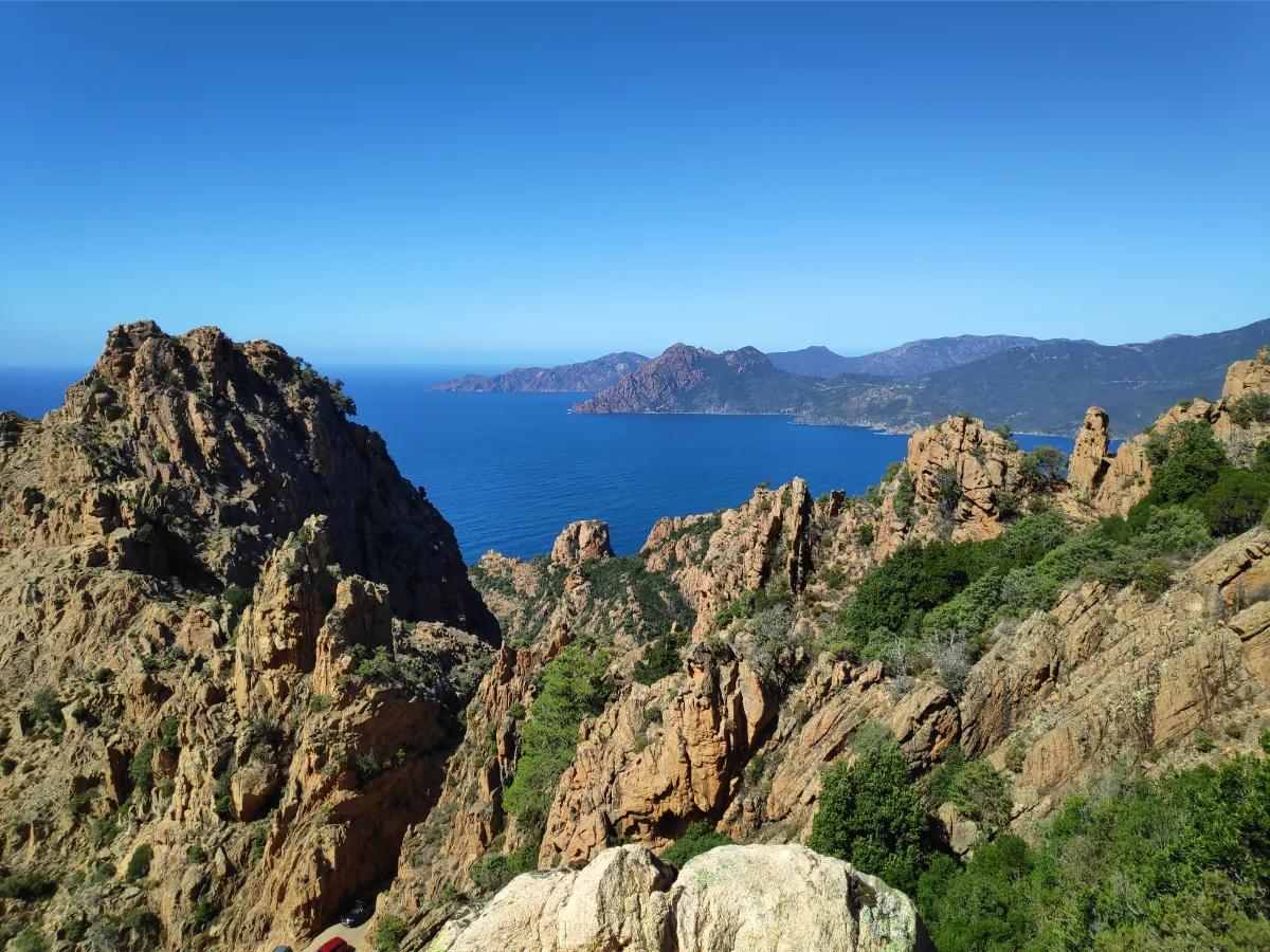
Calanques de Piana
The Calanques de Piana are among Corsica’s most extraordinary landscapes. Picture a jumble of towering red granite rocks rising above the sea, sculpted by erosion into fantastic shapes. Some look like animals, others like figures turned to stone. What you see in them is entirely up to your imagination.
Several trails take you away from the road and into this amazing rocky landscape. The Muleteers’ Trail, once used to travel between neighboring villages, passes through wooded sections before opening onto magnificent viewpoints. The Château Fort Trail leads to a lookout point high above the Gulf of Porto.
More experienced hikers can take on the climb up Capu d’Ortu, a 1,294-meter peak with exceptional views of the coast. The rocks are especially photogenic late in the day, when the sun brings out their warm red and orange tones.
Aiguilles de Bavella
In Our Top ☑️
Full Name
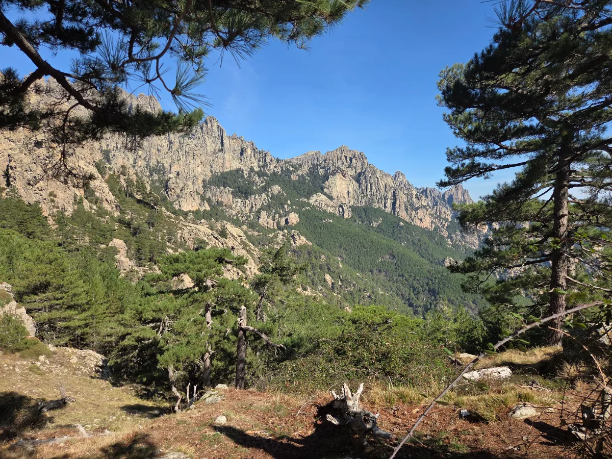
Aiguilles de Bavella
Rising high above the pine forests, the Aiguilles de Bavella are one of Corsica’s most impressive mountain landscapes. These enormous red and gray rocky spires seem to tear through the sky. From the Col de Bavella mountain pass, at 1,218 meters above sea level, the views are already breathtaking.
Plateau du Coscione
Full Name
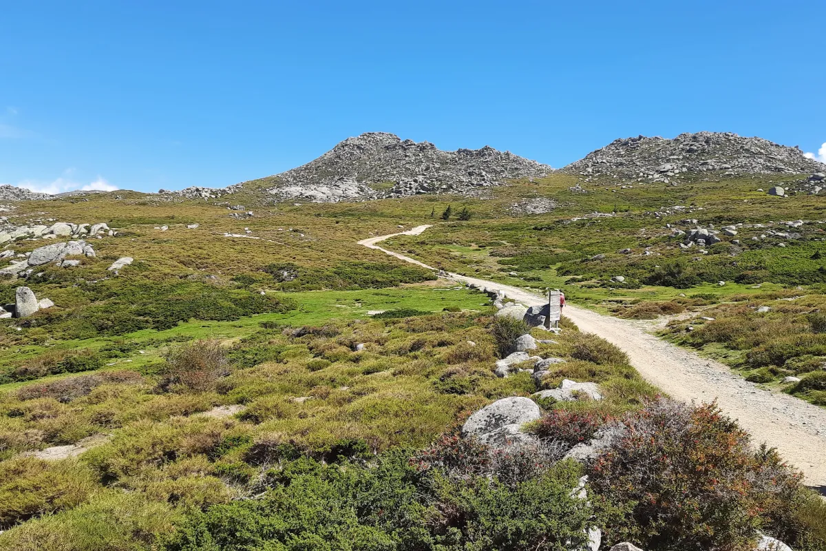
Plateau du Coscione
The Coscione Plateau, known as Cuscionu in Corsican, shows a completely different side of the island’s mountains. Here, vast green meadows roll gently between rocky outcrops, crossed by little streams. Horses, cows, and sometimes pigs roam freely through these high-altitude landscapes.
The plateau’s most unusual feature is its pozzines, small, spongy wetlands crossed by tiny streams that form fascinating winding patterns. Their bright green color contrasts beautifully with the gray rocks. In spring and early summer, the meadows are especially lush, sometimes with patches of snow still lingering nearby.
Monte Cinto
Full Name
Monte Cinto
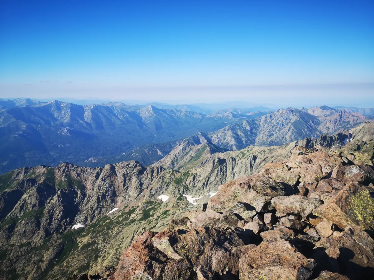
At 2,706 meters, Monte Cinto is the highest peak in Corsica. Climbing it is a serious mountain hike through a rugged landscape of rocks, scree slopes, and jagged ridges. Forget about a leisurely stroll. This is demanding terrain that requires solid mountain experience.
On a clear day, the summit rewards you with breathtaking 360-degree views of Corsica’s mountains and both sides of the island’s coastline.
SCRUBLAND
| Name | Top+ | Top |
|---|---|---|
| Agriate |
Agriate
Full Name
Désert des Agriate
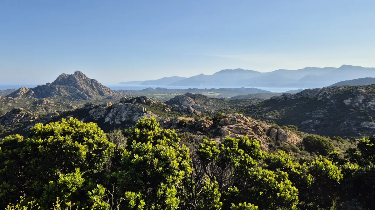
Despite its nickname, the “Agriate Desert,” this vast wilderness in northern Corsica is nothing like a sandy desert. Instead, you’ll find rocky hills covered in fragrant shrubs, scattered former farmland, and a coastline lined with gorgeous beaches.
Saleccia and Lotu are among the most famous, with their white sand and crystal-clear waters. You can reach them by boat or on foot along the coastal trails. Just bear in mind that distances can be long and there’s very little shade.