


MAP
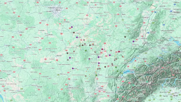
Burgundy
Interactive Map
Burgundy
Interactive Map
Click on the icon  in the top-left corner to display the map legend.
Show/Hide layers as needed.
Click on the arrow icons (v) to display the sublayers.
CLIFF
| Name | Top+ | Top |
|---|---|---|
| Roche de Solutré |
Roche de Solutré
Full Name
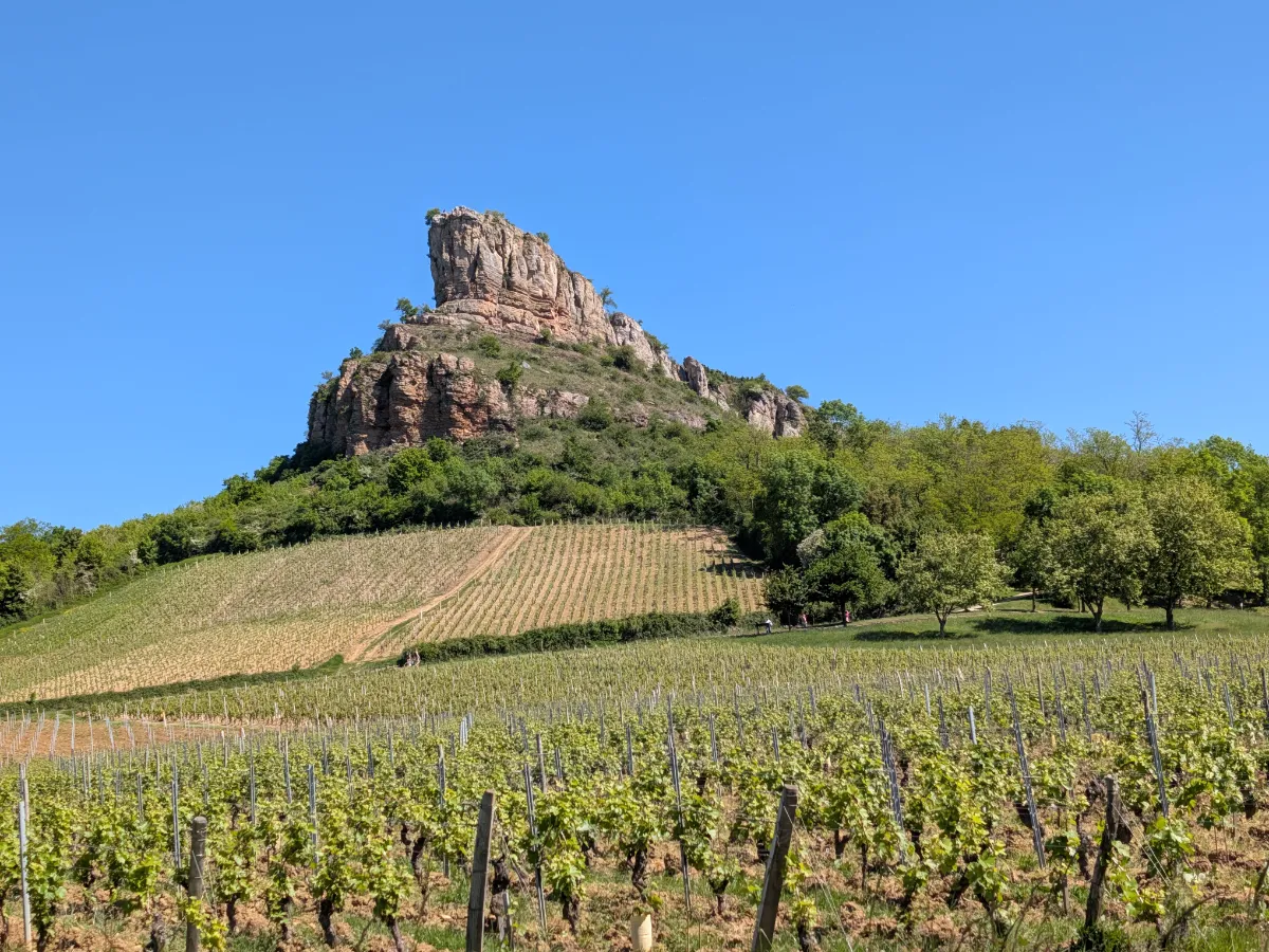
Roche de Solutré
There’s no mistaking the Roche de Solutré for the hills around it. This enormous limestone escarpment rises above the vineyards like the bow of a ship. A path leads up to the summit, where views stretch across villages, vineyards and the hills of southern Burgundy.
The site is also famous among archaeologists. Prehistoric hunters visited the area for thousands of years, leaving behind a wealth of remains. The Museum of Prehistory helps explain this fascinating ancient history.
WATERFALLS
| Name | Top+ | Top |
|---|---|---|
| Cascades du Hérisson |
Cascades du Hérisson
Full Name
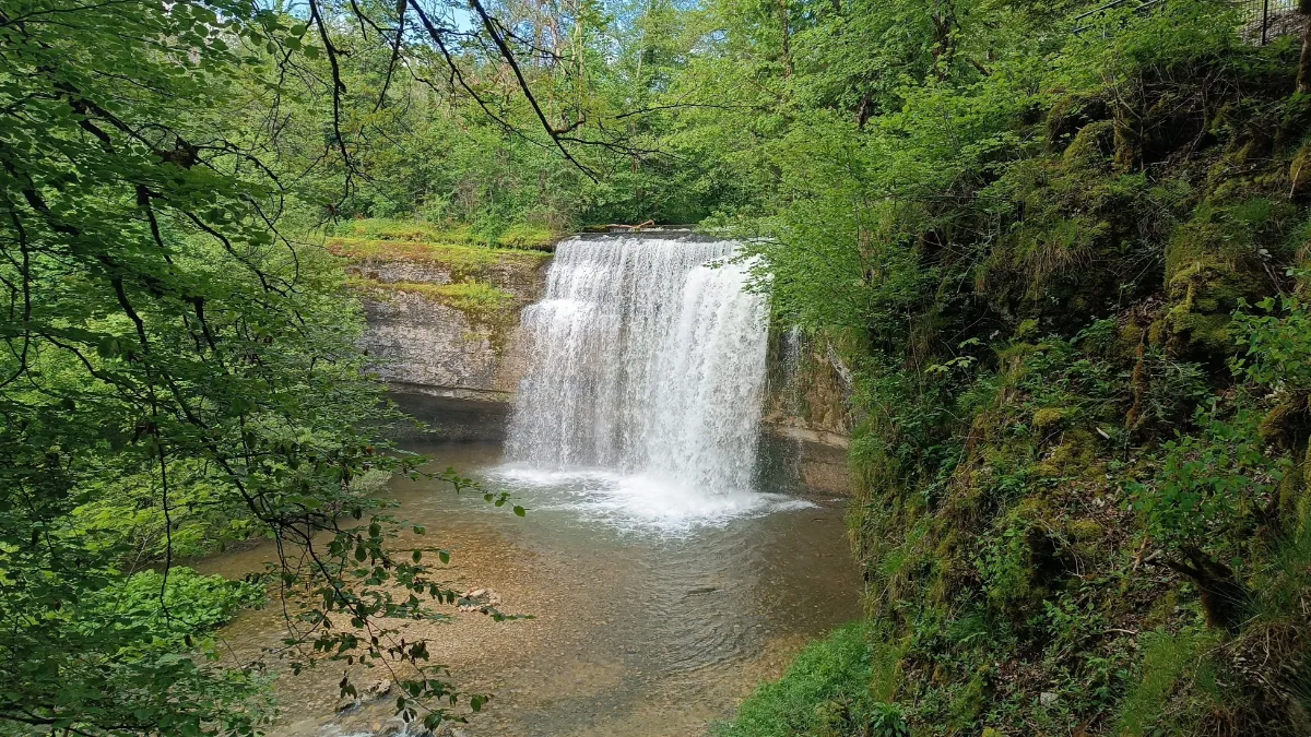
Cascades du Hérisson
In the Jura Mountains, the Hérisson is anything but a quiet little stream. This river rushes down a wooded valley, creating a series of waterfalls, several of them particularly spectacular. The trail follows the cascades, natural pools and moss-covered rocks through lush vegetation.
The walk includes climbs, steps and sections that can sometimes be slippery. The waterfalls are especially impressive after rain, when the river is running high.
MOUNTAINS
| Name | Top+ | Top |
|---|---|---|
| Parc du Morvan | ||
| Parc du Haut-Jura |
Parc du Morvan
Full Name
Parc Naturel Régional du Morvan
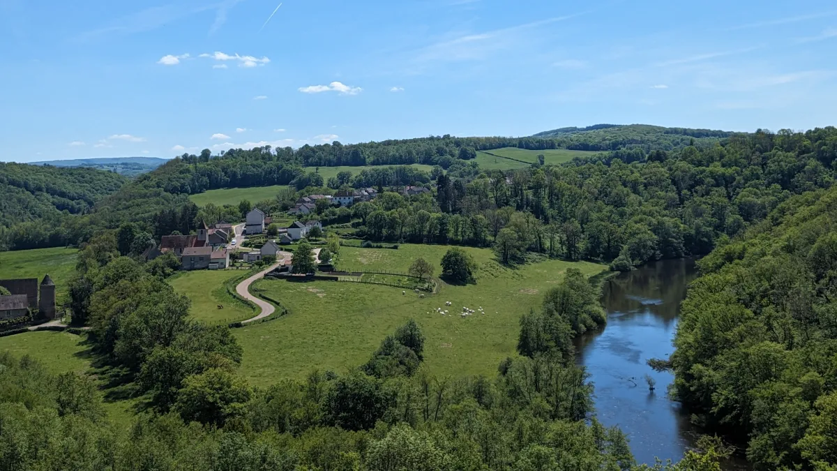
The Morvan shows you a completely different side of Burgundy, with its rounded hills, deep forests and lakes. Here, the great vineyards give way to hedgerow-lined paths, granite villages and meadows where cattle graze. Small roads wind through the woods, occasionally opening onto sweeping views of this still very rural landscape.
The park protects a wide variety of natural habitats, from cool rivers to wetlands rich in wildlife and plants. Whether you’re walking, cycling or relaxing beside a lake, there are plenty of ways to explore. The weather can change quickly on the higher ground, and the forests take on an almost mysterious atmosphere when the mist rolls in.
Parc du Haut-Jura
Full Name
Parc Naturel Régional du Haut-Jura
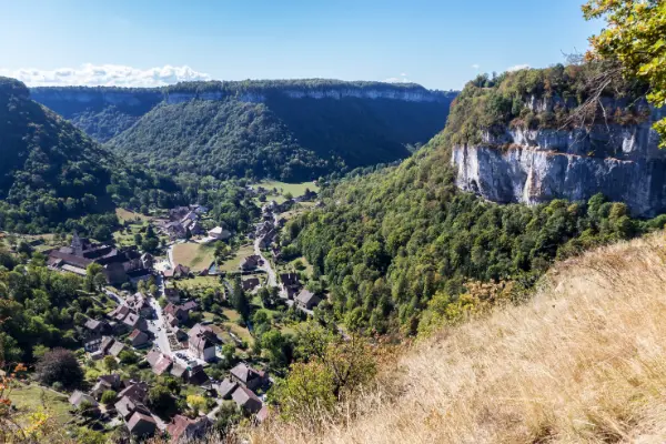
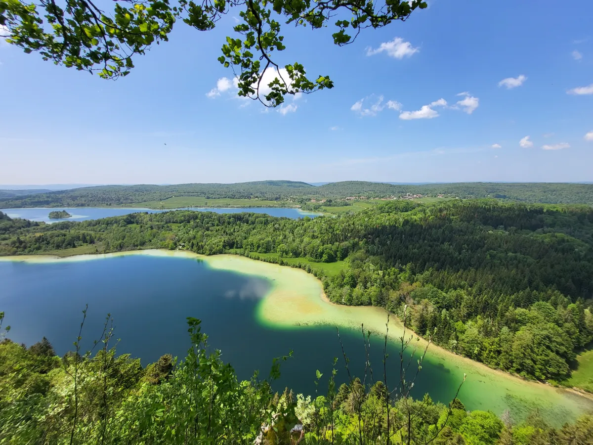
The Haut-Jura reveals a different side of the French mountains, far from the sharply pointed peaks of the Alps. Here, fir forests alternate with pastures, deep valleys and long mountain ridges. The villages still reflect a way of life shaped by harsh winters, livestock farming and woodworking.
The park is home to elusive wildlife and plants adapted to mountain conditions. Walking trails offer excellent hiking, with views that can stretch all the way to the Alps on a clear day. In winter, the snowy landscapes also attract walkers and cross-country skiers.