


MAP
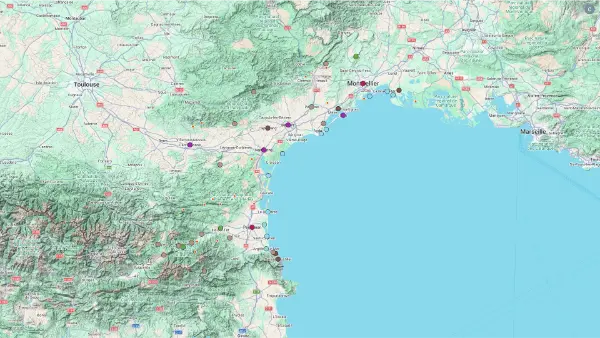
Languedoc
Interactive Map
Languedoc
Interactive Map
Click on the icon  in the top-left corner to display the map legend.
Show/Hide layers as needed.
Click on the arrow icons (v) to display the sublayers.
FAIRY CHIMNEYS
| Name | Top+ | Top |
|---|---|---|
| Orgues d'Ille-sur-Têt | ☑️ |
Orgues d'Ille-sur-Têt
In Our Top ☑️
Full Name
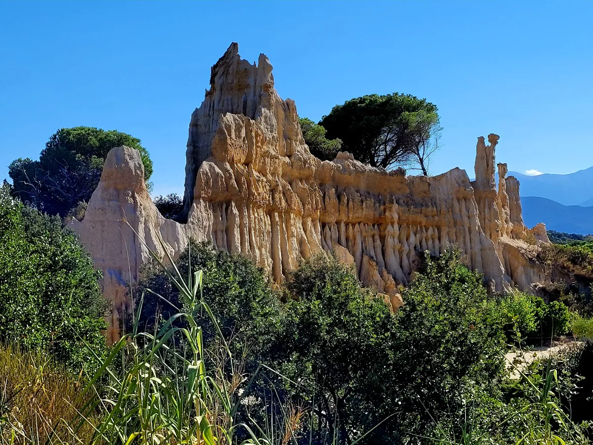
Orgues d’Ille-sur-Têt
Not far from Ille-sur-Têt, wind and rain have sculpted an almost otherworldly landscape out of ancient layers of sand and clay. Tall columns in shades of ochre and white rise beneath the cliffs, some topped with blocks of stone that seem to balance there almost miraculously.
A marked trail takes you close to these unusual formations, with the Canigó massif in the background. Morning and evening light bring out the textures and colors of the rocks. These natural sculptures are extremely fragile and continue to erode, so climbing on them is not allowed.
MOUNTAINS
| Name | Top+ | Top |
|---|---|---|
| Pic Saint-Loup | ||
| Pyrénees Catalanes | ✅ |
Pic Saint-Loup
Full Name
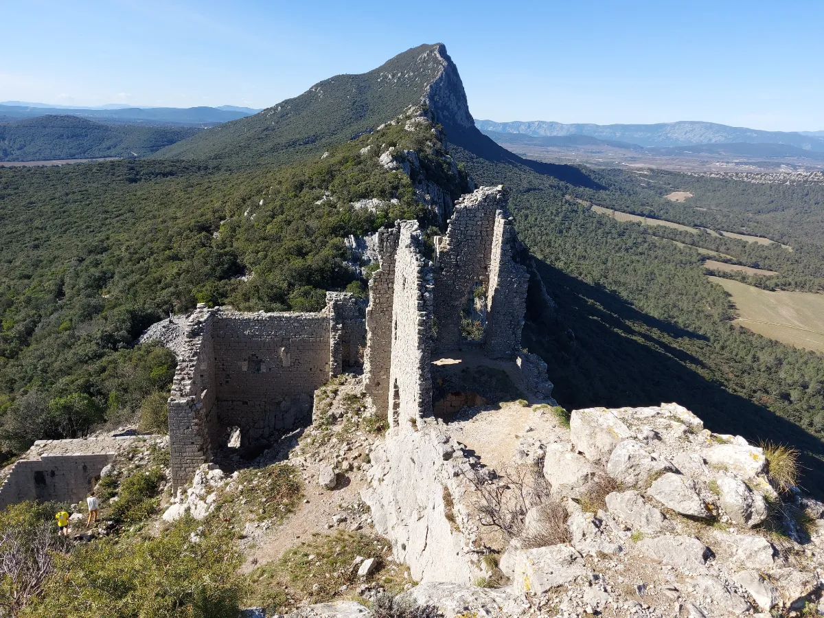
Pic Saint-Loup
With its distinctive pointed summit rising above the hills north of Montpellier, Pic Saint-Loup is one of the most recognizable mountains in the Languedoc region. Standing 658 meters high, it rises among vineyards and hillsides covered in oak trees, thyme and rosemary.
The hike from Cazevieille follows a rocky trail that gets steeper as you approach the summit. At the top, near a small chapel, you’re rewarded with sweeping views of the surrounding countryside, the foothills of the Cévennes and, on a clear day, the Mediterranean Sea.
Pyrénees Catalanes
In Our Top+ ✅
Full Name
Parc Naturel Régional des Pyrénées Catalanes
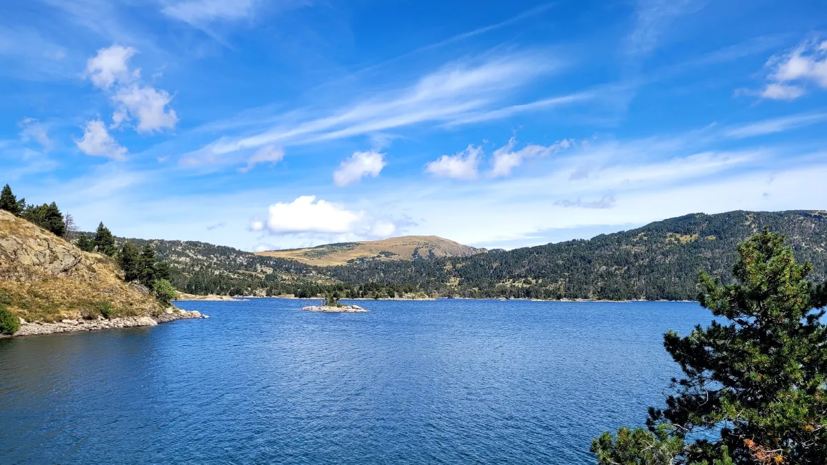
Stretching between the Mediterranean plains and the Spanish border, the Catalan Pyrenees offer an incredible variety of landscapes. Sunny valleys gradually give way to pine forests, high mountain pastures and rugged peaks, some rising above 2,900 meters. Long isolated from the outside world, this mountain region is dotted with villages that have preserved their traditions and stone architecture.
There are countless hiking opportunities, from easy family walks to challenging climbs for experienced hikers. Around Lake Bouillouses, more than 2,000 meters above sea level, several trails wind between smaller lakes, forests and meadows. The crystal-clear waters reflect the peaks of the Carlit massif, whose highest summit reaches 2,921 meters.
Farther north, the Camporells Lakes offer a particularly wild setting, dominated by the imposing Péric peaks. Trails lead through pine forests before opening out onto vast mountain landscapes, where herds sometimes graze during the warmer months. The scenery takes on a completely different feel when the first snow covers the summits.