


MAP
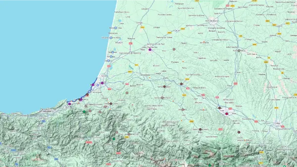
Basque Country
Interactive Map
Basque Country
Interactive Map
Click on the icon  in the top-left corner to display the map legend.
Show/Hide layers as needed.
Click on the arrow icons (v) to display the sublayers.
COASTAL PATH
| Name | Top+ | Top |
|---|---|---|
| Sentier du Littoral Basque |
Sentier du Littoral Basque
Full Names
Sentier du Littoral Basque
Corniche Basque
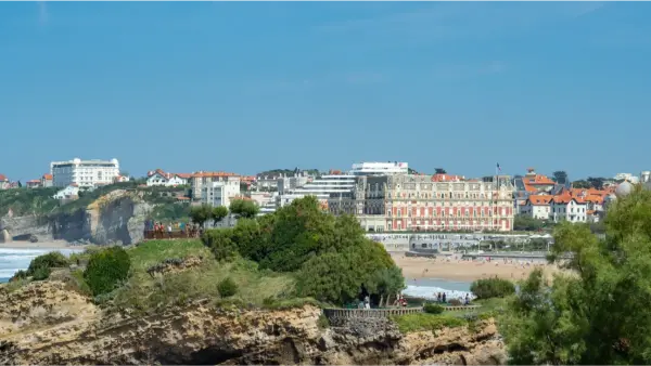
Along the Basque coast, the cliffs give walkers little chance to catch their breath. Between Bidart and Saint-Jean-de-Luz, the coastal path winds its way up and down between beaches, grassy trails, stairways and narrow streets, with the Atlantic always in sight. In Guéthary, waves crash against the rocks while surfers wait further out at sea.
MOUNTAINS
| Name | Top+ | Top |
|---|---|---|
| La Rhune | ☑️ | |
| Vallées de Baigorri et des Aldudes | ||
| Parc National des Pyrénées | ✅ |
La Rhune
In Our Top ☑️
Full Names
La Rhune
Larrun
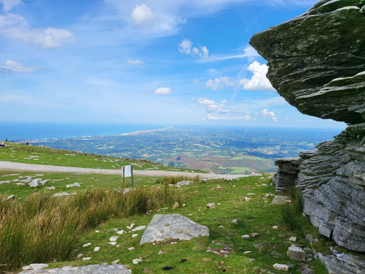
You can spot it from almost anywhere along the coast. Standing 905 metres tall, La Rhune is the most iconic mountain in the Basque Country. There are two ways to reach the top. The adventurous take the hiking trails winding through ferns and mountain pastures, while everyone else hops aboard the little rack railway that first opened in 1924.
The train makes its way up at a leisurely pace, giving you plenty of time to enjoy the scenery. At the summit, the Spanish border is just a stone’s throw away, and the views stretch from the Atlantic to the Pyrenees, as long as the clouds cooperate. You might also spot pottoks grazing on the slopes, the hardy little horses native to the Basque Country.
Vallées de Baigorri et des Aldudes
Full Names
Vallée de Baigorri
Vallée des Aldudes
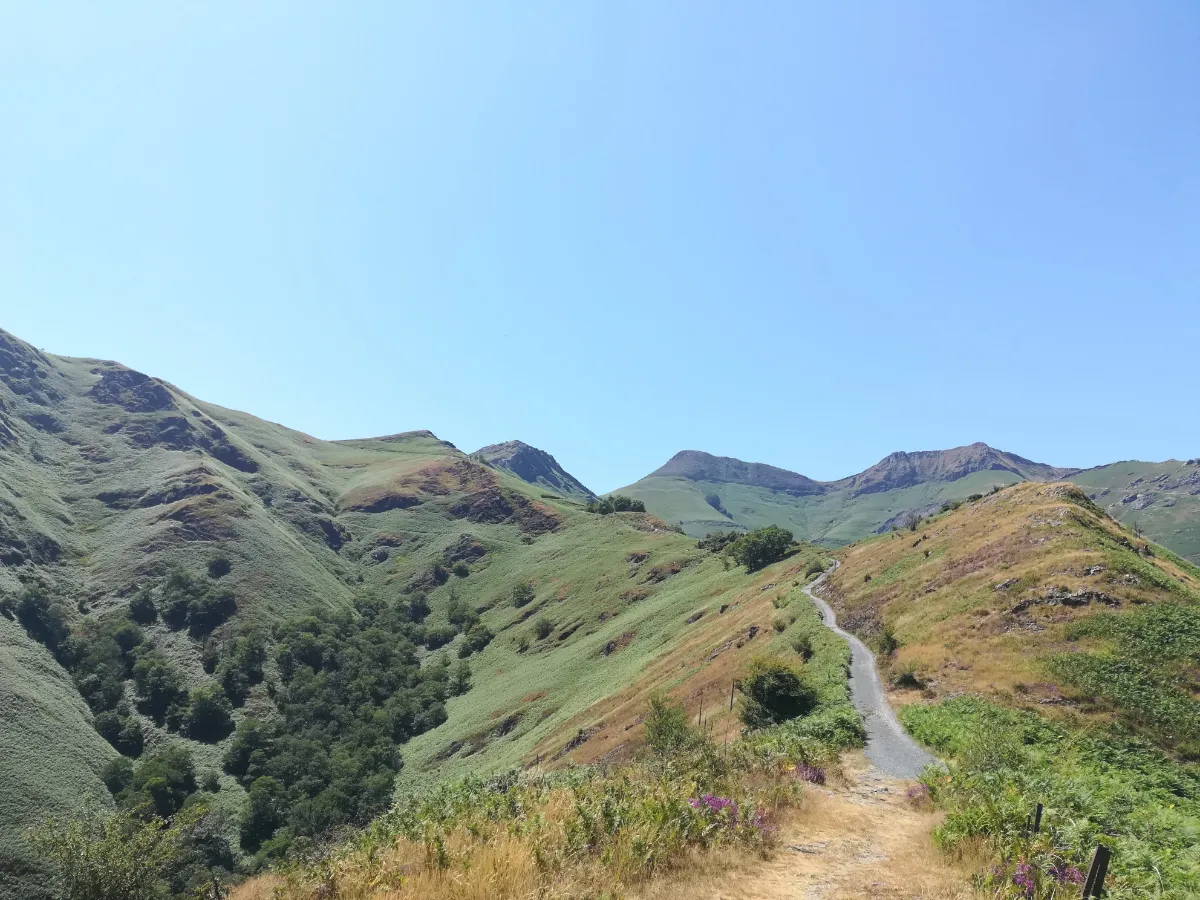
The further you travel into the Baigorri and Aldudes valleys, the more the Basque Country starts to feel like the middle of nowhere. The road follows the river, winds between wooded hillsides and passes through villages filled with large white houses and red shutters.
On the slopes, sheep share the pastures with the famous black pigs raised in the region. Traditional farming is still very much alive here. The Irouléguy vineyards cover the sunniest hillsides, while hiking trails climb towards the ridges along the Spanish border, opening up sweeping views over an almost entirely green countryside.
Parc National des Pyrénées
In Our Top+ ✅
Full Name
Parc National des Pyrénées
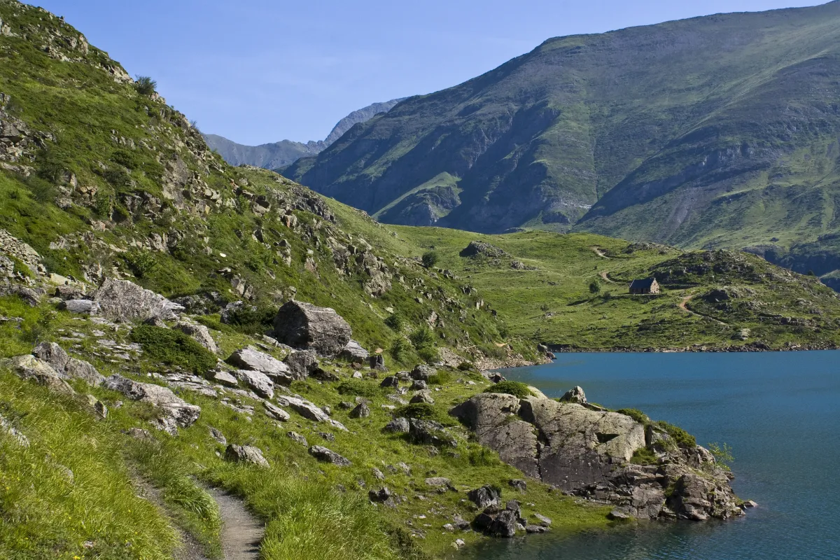
You don’t have to be a mountaineer to be blown away by the scenery. Since 1967, Pyrenees National Park has protected a vast stretch of high mountain landscapes, from deep valleys and rushing streams to mountain lakes and rocky peaks. The scenery changes from one valley to the next, with lush forests and pastures in the west, and more rugged rock faces and lingering snow higher up. In the Pyrenees, distances are measured less in kilometres than in hairpin bends and steep climbs.
To the west, the Aspe Valley offers wild scenery, villages tucked between the mountains and towering cliffs frequented by vultures. Next door, the Ossau Valley is dominated by the spectacular outline of Pic du Midi d’Ossau, the remains of an ancient volcano. Trails wind through woods, meadows and rocky terrain before reaching mountain lakes or high-altitude viewpoints. Some walks are short, while others definitely call for strong legs.
The mountains are also home to plenty of wildlife. Pyrenean chamois, known locally as izards, make their way across steep slopes, marmots whistle when walkers approach, and large birds of prey soar above the valleys. In summer, sheep are taken up to the high mountain pastures, watched over by shepherds and sometimes livestock guardian dogs, which are best given a wide berth.