


OVERVIEW
Massif Central
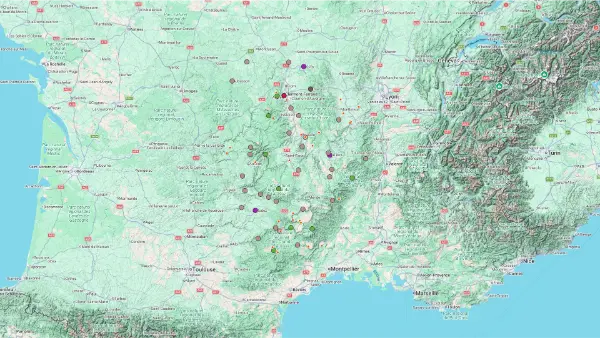
Interactive Map
Massif Central
Interactive Map
Click on the icon  in the top-left corner to display the map legend.
Show/Hide layers as needed.
Click on the arrow icons (v) to display the sublayers.
MOUNTAINS
| Name | Top+ | Top |
|---|---|---|
| Puy de Dôme | ✅ | |
| Puy de Sancy | ✅ | |
| Monts du Cantal | ||
| Aubrac | ||
| Monts d'Ardèche | ||
| Cévennes |
Puy de Dôme
In Our Top+ ✅
Full Name
Puy de Dôme
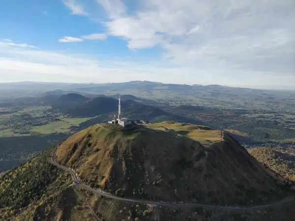
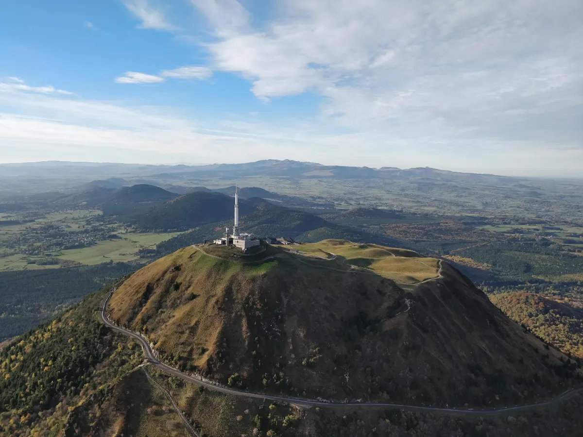
At 1,465 metres high, the Puy de Dôme towers over the volcanoes of Auvergne. Its rounded silhouette, visible from dozens of kilometres away, has become one of the region’s great symbols. This dormant volcano overlooks an extraordinary chain of volcanic cones and craters, reminders of the volcanic activity that dramatically reshaped the landscape.
There are two ways to reach the summit. You can follow the Sentier des Muletiers, a fairly steep hike taking around an hour, or take the little electric rack railway that climbs through the green slopes. At the top, the 360-degree panorama is breathtaking. On a clear day, you can see dozens of ancient volcanoes, valleys, and mountains stretching as far as the eye can see.
The summit also contains the remains of a Roman temple dedicated to Mercury, built nearly 2,000 years ago. Another fascinating sight is the paragliders who regularly launch themselves from the slopes, catching rising air currents to glide above the craters.
Puy de Sancy
In Our Top+ ✅
Full Name
Puy de Sancy
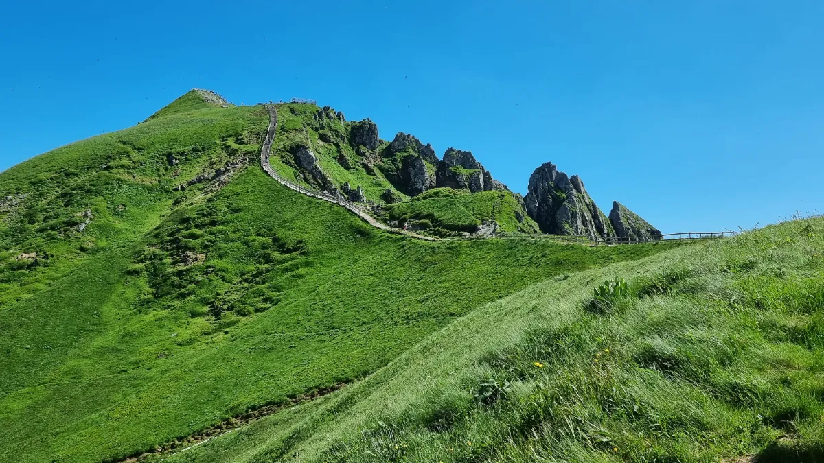
The highest peak in the Massif Central, the Puy de Sancy rises to 1,885 metres above sea level. Unlike the rounded volcanoes of northern Auvergne, this one has a rugged, almost Alpine appearance. Its jagged ridges, deep valleys, and rocky slopes tell the story of a dramatic past, shaped first by volcanic eruptions and later by glaciers.
In summer, walking trails cross vast flower-filled meadows before climbing towards the peaks. Keen hikers can tackle the whole ascent on foot, while a cable car lets you skip much of the climb. From there, several hundred steps still separate you from the summit. Once at the top, the panorama takes in a huge stretch of the mountains of central France.
The Sancy also has an interesting geographical feature: streams that eventually form the Dordogne River begin on its slopes. In winter, snow covers the mountainsides and transforms the landscape into a ski area, offering completely different views from those of the warmer months.
Monts du Cantal
Full Names
Monts du Cantal
Massif du Cantal
Volcan du Cantal
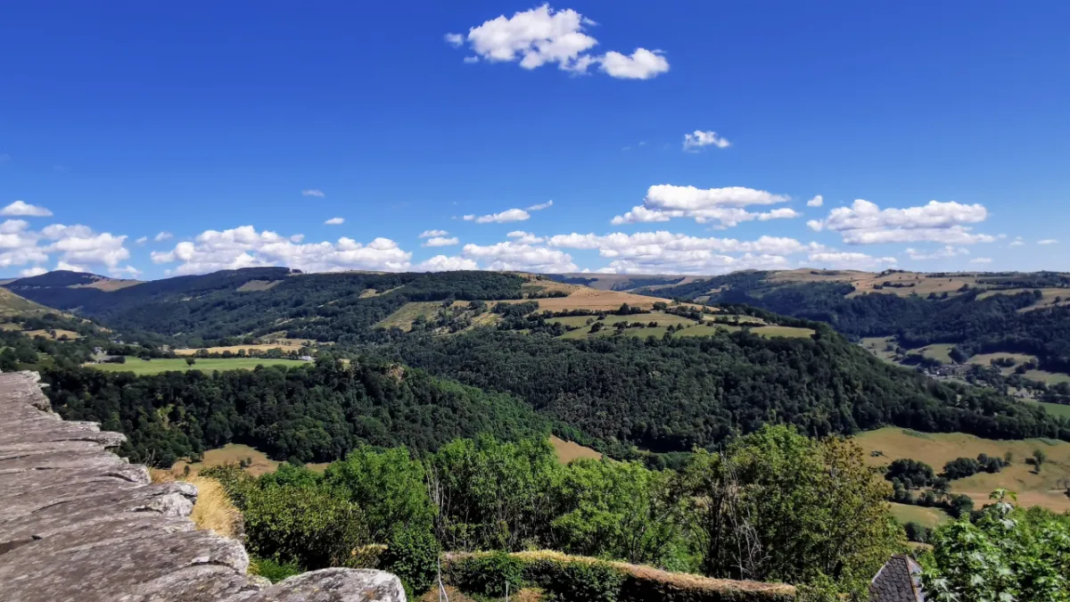
Imagine an enormous volcano, once among the largest in Europe, whose slopes have been slowly sculpted by erosion over millions of years. That’s the Cantal Mountains. This vast mountain range, around 70 kilometres across, now has a spectacular landscape of pointed peaks, long ridges, and valleys spreading out in every direction.
Puy Mary, with its distinctive pyramid shape, is one of the best-known summits. Higher still, the Plomb du Cantal reaches 1,855 metres. The scenery shifts between high mountain meadows, deep forests, and green valleys, where tiny stone villages sometimes seem lost among the mountains.
Cantal has been cattle-farming country for centuries, and it’s also home to cows with long horns and old stone shepherds’ huts. In spring, wildflowers cover the meadows. In autumn, the forests turn golden, while the first snow may already be dusting the mountain peaks.
Aubrac
Full Names
L’Aubrac
Parc de l’Aubrac
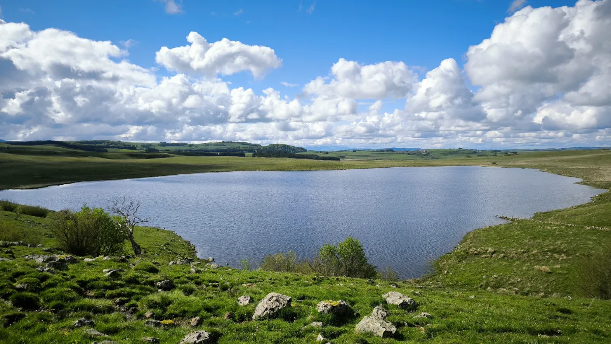
Aubrac is all about wide-open spaces and endless horizons. At more than 1,000 metres above sea level, this vast area of gently rolling highlands stretches across enormous meadows dotted with granite boulders, little lakes, and isolated forests. The landscape can feel almost empty, apart from herds of caramel-coloured cows with long, curved horns.
In spring, the meadows turn into carpets of flowers. Later in the year, the grass takes on golden shades and morning mist wraps around the hills. Ancient glaciers left behind small hollows filled with water, along with wetlands where a particularly rich variety of plants grows.
Aubrac also has a long cattle-farming tradition. Sturdy stone buildings once provided shelter for herders and places to make cheese. Hiking trails cross these open landscapes, where the wind often blows without anything to stop it. In winter, snow and frost give the vast surroundings an almost Nordic feel.
Monts d'Ardèche
Full Names
Monts d’Ardèche
Parc Naturel Régional des Monts d’Ardèche
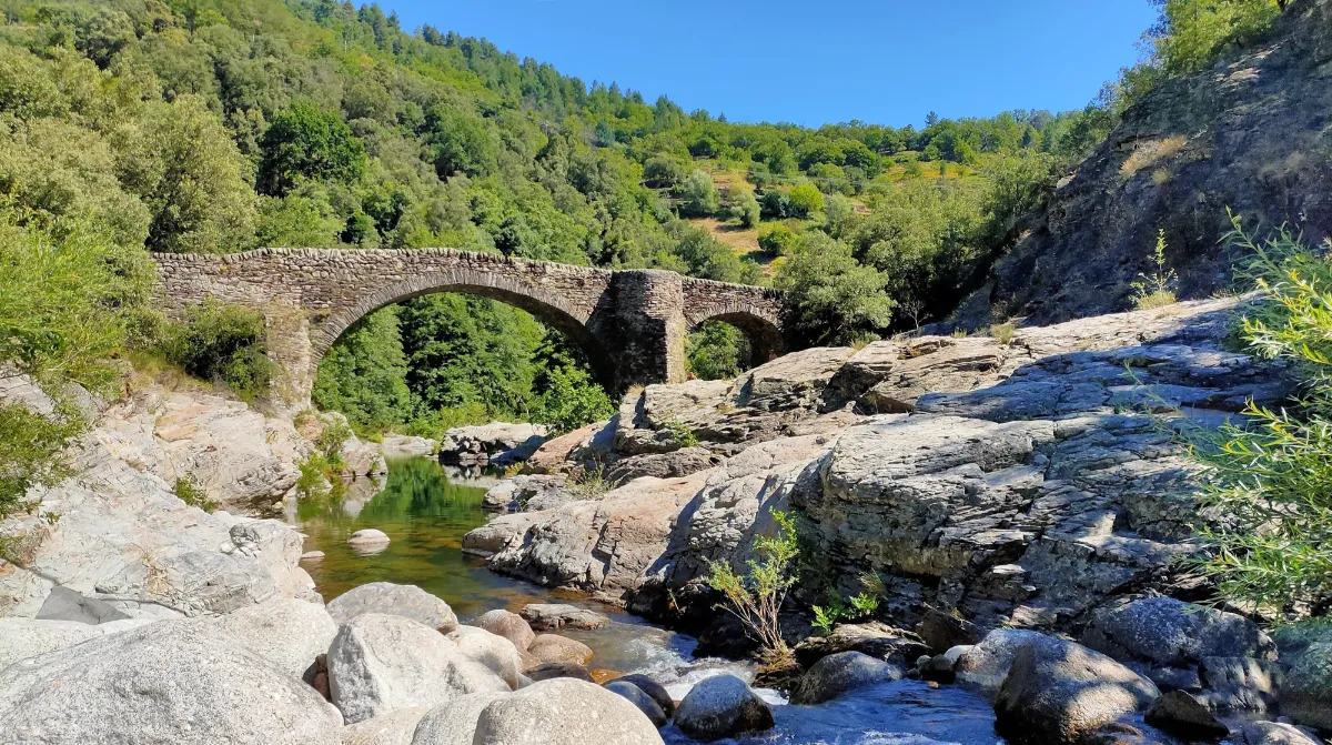
The Ardèche Mountains have a character all their own, with volcanic peaks, deep valleys, and chestnut forests. Here, the landscape can change dramatically in just a few kilometres, from vast high-altitude pastures and rocky summits to villages clinging to hillsides and rivers rushing through steep-sided valleys.
The area’s volcanic past has left some spectacular traces, including remarkable columns of rock formed as lava cooled. Mont Gerbier-de-Jonc, with its distinctive massive shape, is particularly famous because the Loire River rises at its foot. The higher Mont Mézenc offers magnificent views over the surrounding mountains.
But the Ardèche Mountains also tell the story of generations of farmers who carefully shaped the slopes. Countless stone walls still support old agricultural terraces, while chestnut groves cover much of the hillsides. In autumn, the leaves turn brilliant colours and fallen chestnut husks cover the paths.
Cévennes
Full Names
Les Cévennes
Parc des Cévennes
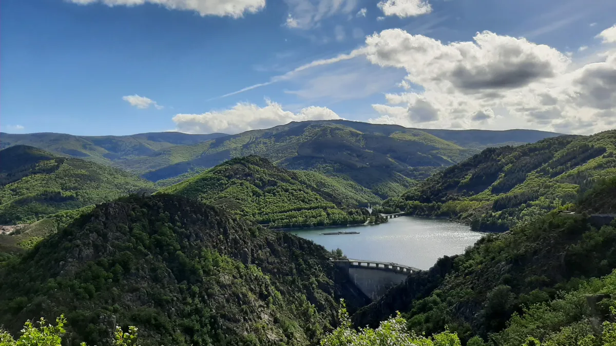
The Cévennes are a wild and beautiful part of France, with forested mountains, deep valleys, and isolated villages. This vast protected area in the southern Massif Central has an astonishing variety of landscapes. The bare summits of Mont Lozère contrast with chestnut forests, steep valleys, and enormous limestone plateaus.
People have shaped these mountains for centuries. On the steep hillsides, they built stone terraces to grow crops and dug small channels to carry water. Flocks of sheep still follow ancient tracks up to the high mountain pastures during the warmer months.
The park also has a fascinating history, particularly that of the Protestants who sought refuge in these mountains during the religious persecutions of the 17th and 18th centuries. Today, walking trails cross landscapes that have remained remarkably unspoilt. After dark, the lack of large towns and very little artificial lighting make for exceptional stargazing. In fact, the Cévennes have earned international recognition for the quality of their night skies.
BLOCKFIELD
| Name | Top+ | Top |
|---|---|---|
| Cité de Pierres |
Cité de Pierres
Price €14.80
Full Names
Cité de Pierres
Chaos de Montpellier-le-Vieux
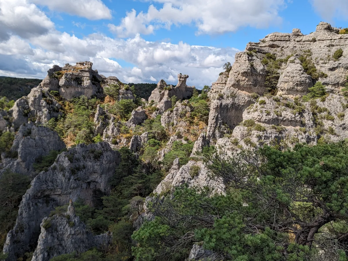
On a vast limestone plateau overlooking the Dourbie Gorges, the Cité de Pierres is an extraordinary geological sight. Over millions of years, water and wind have sculpted the rock into a maze of natural pillars, arches, and gigantic boulders.
Some formations look like animals, others like towers or the ruins of an abandoned city. The rest is up to your imagination. Several walking trails take you through this rocky landscape, past narrow passages and viewpoints over the surrounding valleys. In spring, flowering plants add splashes of colour to these remarkable natural stone sculptures.
RED HILLS
| Name | Top+ | Top |
|---|---|---|
| Rougier de Camarès |
Rougier de Camarès
Full Name
Rougier de Camarès
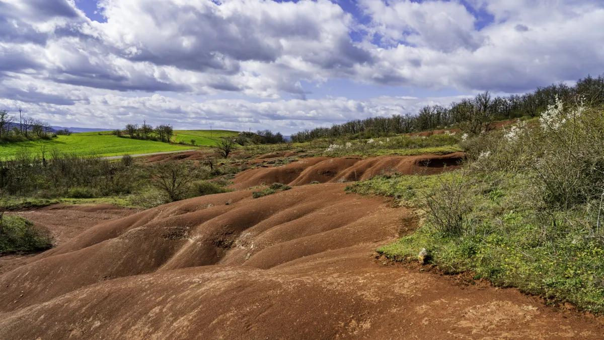
Here, the earth has an astonishing brick-red colour, caused by iron in the rocks. Erosion has shaped this fragile terrain into small hills, ravines, and rocky formations that look like miniature canyons. The contrast between the deep red soil, green meadows, and blue sky is particularly spectacular. Hiking trails cross these unusual landscapes, where sunlight makes the colours change throughout the day.